Coordinates: 49°38′56″N56°31′48″E / 49.64889°N 56.53000°E

A geographic coordinate system is a coordinate system that enables every location on Earth to be specified by a set of numbers, letters or symbols. The coordinates are often chosen such that one of the numbers represents a vertical position and two or three of the numbers represent a horizontal position; alternatively, a geographic position may be expressed in a combined three-dimensional Cartesian vector. A common choice of coordinates is latitude, longitude and elevation. To specify a location on a plane requires a map projection.
| Bolgarka Болгарка Болгарка بولگاركا | |
|---|---|
 Bolgarka | |
| Coordinates: 49°38′56″N56°31′48″E / 49.64889°N 56.53000°E | |
| Country | |
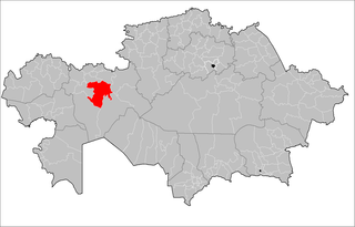
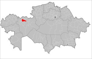
| Region | Aktobe |
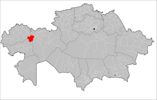
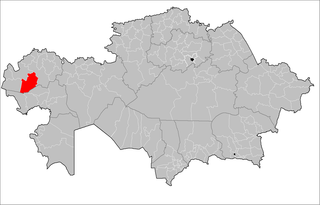
| District | Alga District |
| Elevation | 241 m (791 ft) |
| Time zone | West Kazakhstan Time (UTC+5) |
| • Summer (DST) | West Kazakhstan Time (UTC+5) |
Bolgarka [1] (Russian : Болгарка, Bolgarka, Kazakh : Болгарка, Bolgarka, بولگاركا) is a selo in Alga District, Aktobe Region, west Kazakhstan. It lies at an altitude of 241 m (791 ft). [1] Population: 480 (2009 Census results); [2] 922 (1999 Census results). [2]

Russian is an East Slavic language, which is official in the Russian Federation, Belarus, Kazakhstan and Kyrgyzstan, as well as being widely used throughout Eastern Europe, the Baltic states, the Caucasus and Central Asia. It was the de facto language of the Soviet Union until its dissolution on 25 December 1991. Although, nowadays, nearly three decades after the breakup of the Soviet Union, Russian is used in official capacity or in public life in all the post-Soviet nation-states, as well as in Israel and Mongolia, the rise of state-specific varieties of this language tends to be strongly denied in Russia, in line with the Russian World ideology.

Kazakh or Kazak belongs to the Kipchak branch of the Turkic languages. It is closely related to Nogai, Kyrgyz, and Karakalpak. Kazakh is the official language of the Republic of Kazakhstan and a significant minority language in the Ili Kazakh Autonomous Prefecture in Xinjiang, China and in the Bayan-Ölgii Province of Mongolia. Kazakh is also spoken by many ethnic Kazakhs through the former Soviet Union, Afghanistan, Iran, Turkey, and Germany.
Alga is a district of Aktobe Region in Kazakhstan. The administrative center of the district is the town of Alga. Population: 38,961 ; 38,578 ; 37,004.