Castlepollard is a small town in north County Westmeath, Republic of Ireland. It lies west of Lough Lene and northeast of Lough Derravaragh and Mullingar.

Dromore is a village, townland and civil parish in County Tyrone, Northern Ireland. It is nine miles (15 km) south west of Omagh on the A32 and sixteen miles (26 km) from Enniskillen. Its population as of 2008 is estimated to be 1,258.
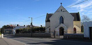
Raharney is a village in east County Westmeath, Ireland. It has a population of 221 according to the 2016 census.
Dysart or Dysert may refer to:

Dysart is a village in County Roscommon, Ireland. It lies 20 km (12 mi) from the centre of Athlone, on the R363 regional road. Located at the crossroads of the R363 and the R357, the village was formerly known as 'Thomas Street'.

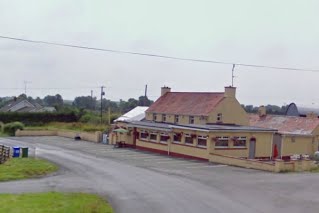
Taghmaconnell or Taughmaconnell is a small village in County Roscommon, Ireland. It lies between Athlone and Ballinasloe. It is also the name of the parish in which the village lies.
Ruan is a village in County Clare in Ireland and a civil parish by the same name. It is in the Catholic parish of Dysart and Ruan.

Moycashel, previously the barony of Rossaughe, before that, Delamares country, is a barony in south County Westmeath, in the Republic of Ireland. It was formed by 1542. It is bordered by three other baronies: Clonlonan to the west, Rathconrath to the north, Moyashel and Magheradernon to the north-east and Fartullagh to the west. The largest population centre is Kilbeggan.

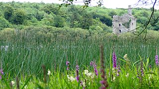
Dysert is a civil parish in County Clare, Ireland. The parish was formerly called Dysert O’Dea, from its having been the territory of the sept of that name. It is part of the ecclesiastical parish of Dysart and Ruan. The ruins of O'Dea Castle and a 12th-century church of Dysert O'Dea Monastery are in the townland of the same name.
Drumcar is a village and a historical parish, in the barony of Ardee, County Louth, Leinster, northeastern Ireland.

Dysart and Ruan is a Catholic parish in County Clare, Ireland. It covers the civil parishes of Ruan and Dysert, and includes the village of Ruan, which holds the parish office. The parish contains the ruins of the 12th century St. Tola's Church, part of Dysert O'Dea Monastery.
Rahugh or Ráith Aeda Meic Bric is an early Christian site founded by Áed mac Bricc in the 6th century, inside a ráth or ringfort. The site, located about 8 km north of Tullamore along the L1024.
Rathconrath, previously the barony of Rathcomyrta, before that Daltons country, is a barony in the west of County Westmeath, in the Republic of Ireland. It was formed by 1542. It is bordered by County Longford to the north–west and five other Westmeath baronies: Moygoish to the north, Moyashel and Magheradernon to the east, Moycashel and Clonlonan to the south and Kilkenny West to the west. Note that the village of Rathconrath is not synonymous with the barony of the same name.
Brawny is a barony in south–west County Westmeath, Ireland. It was formed by 1672. It is bordered by County Roscommon to the west. It also borders two other Westmeath baronies: Kilkenny West and Clonlonan. The largest centre of population in the barony is the town of Athlone.
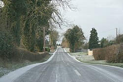
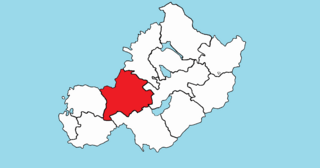
Dysart is a civil parish in County Westmeath, Ireland. It is located about 8.5 kilometres (5 mi) south‑west of Mullingar.
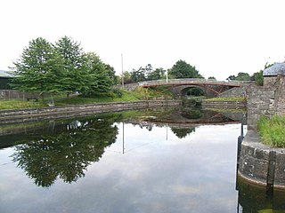
Mullingar is a civil parish in County Westmeath, Ireland. It includes Mullingar the county town of Westmeath, as well as the eponymous townland. Mullingar parish is located about 75 kilometres (47 mi) west of Dublin on the N4 road and the N52 road which meet east of Mullingar town. It is served by Mullingar railway station on the Dublin to Sligo line. The Royal Canal also passes through the parish and the town.
Killulagh is a civil parish in County Westmeath, Ireland. It is located about 16.12 kilometres (10 mi) north–east of Mullingar.
Castletownkindalen is a civil parish in County Westmeath, Ireland. It is located about 14.6 kilometres (9 mi) south–west of Mullingar.
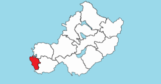
Churchtown is a civil parish in County Westmeath, Ireland. It is located about 11.13 kilometres (7 mi) west–south–west of Mullingar.
Castlelost West is a townland in County Westmeath, Ireland. The townland is located in the civil parish of the same name. The R446 regional road runs through the south of the area. The townland of Castlelost lies to the east and contains the town of Rochfortbridge. The town of Tyrrellspass stands to the west of the townland.