| Ghent/Industry Zone Heliport Ghent University Hospital Heliport | |||||||||||
|---|---|---|---|---|---|---|---|---|---|---|---|
| Summary | |||||||||||
| Airport type | Private | ||||||||||
| Operator | Universitair Ziekenhuis Gent | ||||||||||
| Serves | Ghent | ||||||||||
| Location | Belgium | ||||||||||
| Elevation AMSL | 26 ft / 8 m | ||||||||||
| Coordinates | 51°01′14″N003°43′49″E / 51.02056°N 3.73028°E Coordinates: 51°01′14″N003°43′49″E / 51.02056°N 3.73028°E | ||||||||||
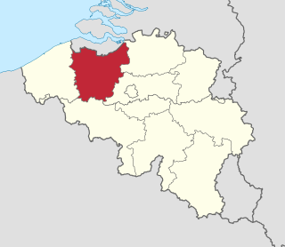
| Map | |||||||||||
 EBGT Location in Belgium | |||||||||||
| Helipads | |||||||||||
| |||||||||||
Ghent/Industry Zone Heliport( ICAO : EBGT) is a heliport serving Ghent University Hospital located near Ghent, East Flanders, Belgium.

The ICAOairport code or location indicator is a four-letter code designating aerodromes around the world. These codes, as defined by the International Civil Aviation Organization and published in ICAO Document 7910: Location Indicators, are used by air traffic control and airline operations such as flight planning.

Ghent University Hospital is one of the largest hospitals in Belgium. It is closely linked to Ghent University, the university's rector also being the hospital's president. Both the university and the hospital are autonomous entities of the Flemish Government.
East Flanders is a province of Belgium. It borders the Netherlands and the Belgian provinces of Antwerp, Flemish Brabant, Hainaut and West Flanders. It has an area of 2,991 km², divided into six administrative districts containing 60 municipalities, and a population of 1,408,484. The capital is Ghent.


