
Sierra Leone, officially the Republic of Sierra Leone, informally Salone, is a country on the southwest coast of West Africa. It is bordered by Liberia to the southeast and Guinea to the northeast. Sierra Leone has a tropical climate with a diverse environment ranging from savanna to rainforests, a total area of 71,740 km2 (27,699 sq mi) and a population of 7,092,113 as of the 2015 census. The capital and largest city is Freetown. The country is divided into five administrative regions which are subdivided into sixteen districts.
Sierra Leone first became inhabited by indigenous African peoples at least 2,500 years ago.The limba's were the first tribe known to inhabit Sierra Leone. The dense tropical rainforest partially isolated the region from other West African cultures, and it became a refuge for peoples escaping violence and jihads. Sierra Leone was named by Portuguese explorer Pedro de Sintra, who mapped the region in 1462. The Freetown estuary provided a good natural harbour for ships to shelter and replenish drinking water, and gained more international attention as coastal and trans-Atlantic trade supplanted trans-Saharan trade.
Telecommunications in Sierra Leone include radio, television, fixed and mobile telephones, and the Internet.
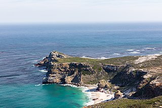
The Cape of Good Hope is a rocky headland on the Atlantic coast of the Cape Peninsula in South Africa.

Freetown is the capital and largest city of Sierra Leone. It is a major port city on the Atlantic Ocean and is located in the Western Area of the country. Freetown is Sierra Leone's major urban, economic, financial, cultural, educational and political centre, as it is the seat of the Government of Sierra Leone. The population of Freetown was 1,055,964 at the 2015 census.

Sierra Leone maintains formal relations with many Western nations. It also maintains diplomatic relations with the former Soviet Bloc countries as well as with the People's Republic of China.

The Cantino planisphere or Cantino world map is a manuscript Portuguese world map preserved at the Biblioteca Estense in Modena, Italy. It is named after Alberto Cantino, an agent for the Duke of Ferrara, who successfully smuggled it from Portugal to Italy in 1502. It measures 220 x 105 cm.
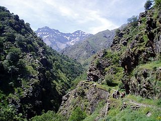
The Baetic System or Betic System is one of the main systems of mountain ranges in Spain. Located in the southern and eastern Iberian Peninsula, it is also known as the Cordilleras Béticas or Baetic Mountains. The name of the mountain system derives from the ancient Roman region of Baetica, one of the Imperial Roman provinces of ancient Hispania.
Pedro de Sintra, also known as Pêro de Sintra, Pedro da Cintra and Pedro da Sintra, was a Portuguese explorer. He was among the first Europeans to explore the West African coast. Around 1462 his expedition reached what is now Sierra Leone and named it. Although according to professor C. Magbaily Fyle this could have possibly been a misinterpretation of historians; there has been evidence of Serra Lyoa being mentioned prior to 1462, the year when de Sintra's expedition reached the coast of Sierra Leone. This would suggest that the person who named Sierra Leone is still unknown. However, if de Sintra did name the area, it is unclear whether he named it after the landforms or climate in the area. According to some the coastal regions resembled lion's teeth while others suggest the thunderstorms sounded like the roar of a lion. Sixteenth century English sailors called the area Sierra Leoa which later evolved to Sierra Leone in the 17th century. The British, prior to the area being colonised, officially adopted the name Sierra Leone in 1787.

The Western Area or Freetown Peninsula is one of four principal divisions of Sierra Leone. It comprises the oldest city and national capital Freetown and its surrounding towns and countryside. It covers an area of 557 km2 and has a population of 1,447,271. The Western Area is located mostly around the peninsula and is divided into two districts: the Western Area Rural and the Western Area Urban.
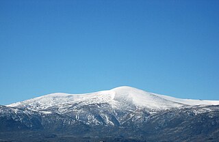
The Central System, Spanish and Portuguese: Sistema Central, is one of the main systems of mountain ranges in the Iberian Peninsula. The 2,592 m high Pico Almanzor is its highest summit.

The Limba people are the third largest ethnic group in Sierra Leone. They represent 8.4% of Sierra Leone's total population. They are based in the north of the country across seven provinces, comprising about 8% of the national populations.</ref>
Articles related to Sierra Leone include:

The Sierra Leone Girl Guides Association is the national Guiding organization of Sierra Leone. It serves 2,026 members. Founded in 1924, the girls-only organization became a full member of the World Association of Girl Guides and Girl Scouts in 1963. The current headquarters of the organization is at Tower Hill, Freetown, Western Area.

Tourism in Sierra Leone is an important growing national service industry. Beaches and other natural habitats are the biggest parts of the nation's tourism industry.
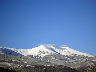
The Iberian System, is one of the major systems of mountain ranges in Spain. It consists of a vast and complex area of mostly relatively high and rugged mountain chains and massifs located in the central region of the Iberian Peninsula, but reaching almost the Mediterranean coast in the Valencian Community in the east.

The Sierra de la Culebra, Portuguese: Serra da Coroa, is a mountain range in Castile and León, northwest Spain, and northeastern Portugal. It lies 7 km south of Puebla de Sanabria in the comarcas of Aliste, Sanabria and La Carballeda, as well as Vinhais and Bragança municipalities in the District of Bragança. Its highest point is 1,243 metres (4,078 ft) high Peña Mira, located near Flechas, within Figueruela de Arriba municipal term; other important peaks are Miño Cuevo 1,211 metres (3,973 ft) and La Pedrizona 1,054 metres (3,458 ft).

The Galician Massif, Spanish: Macizo Galaico, also known as Macizo Galaico-Leonés, is a system of mountain ranges in the northwestern corner of the Iberian Peninsula. It is located in Galicia with its southeastern end reaching into the provinces of Zamora and León of Castile and León. Its highest point is Pena Trevinca at 2,127 metres (6,978 ft). Another important peak is Cabeza de Manzaneda.

Serra de São Mamede is a mountain range in Portalegre District, Portugal. This range is named after Saint Mammes. Together with the Serra de Arraiolos, the Serra de São Mamede is one of the few places in the Alentejo region where there might be snow in the winter.
The Sierra Leone Creole people is an ethnic group in Sierra Leone. The Sierra Leone Creole people are descendants of freed African American, West Indian, and Liberated African slaves who settled in the Western Area of Sierra Leone between 1787 and about 1885. The colony was established by the British, supported by abolitionists, under the Sierra Leone Company as a place for freedmen. The settlers called their new settlement Freetown. Today, the Sierra Leone Creoles comprise 1.3% of the population of Sierra Leone.

