| Mauerstetten | ||
|---|---|---|
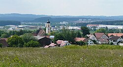
Mauerstetten seen from the east | ||
| ||
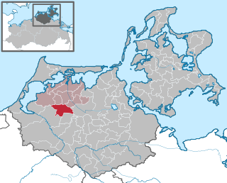
 Mauerstetten Location of Mauerstetten within Ostallgäu district  | ||
| Coordinates: 47°53′N10°40′E / 47.883°N 10.667°E Coordinates: 47°53′N10°40′E / 47.883°N 10.667°E | ||
| Country | Germany | |
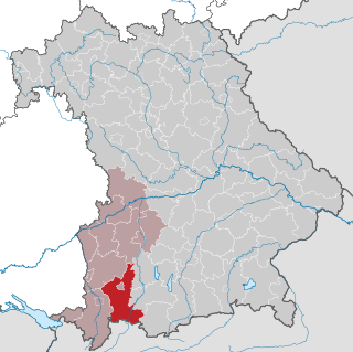
| State | Bavaria | |
| Admin. region | Schwaben | |
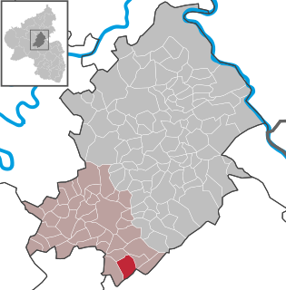
| District | Ostallgäu | |
| Government | ||
| • Mayor | Armin Holderried (FW) | |
| Area | ||
| • Total | 16.55 km2 (6.39 sq mi) | |
| Elevation | 716 m (2,349 ft) | |
| Population (2016-12-31) [1] | ||
| • Total | 3,109 | |
| • Density | 190/km2 (490/sq mi) | |
| Time zone | CET/CEST (UTC+1/+2) | |
| Postal codes | 87665 | |
| Dialling codes | 08341 | |
| Vehicle registration | OAL | |
| Website | www.mauerstetten.de | |

Mauerstetten is a municipality in the district of Ostallgäu in the southwest of Bavaria in Germany.

Municipalities are the lowest level of official territorial division in Germany. This is most commonly the third level of territorial division, ranking after the Land (state) and Kreis (district). The Gemeinde which is one level lower in those states also includes Regierungsbezirke as an intermediate territorial division. The Gemeinde is one level higher if it is not part of a Samtgemeinde. Only 10 municipalities in Germany have fifth level administrative subdivisions and all of them are in Bavaria. The highest degree of autonomy may be found in the Gemeinden which are not part of a Kreis. These Gemeinden are referred to as Kreisfreie Städte or Stadtkreise, sometimes translated as having "city status". This can be the case even for small municipalities. However, many smaller municipalities have lost this city status in various administrative reforms in the last 40 years when they were incorporated into a Kreis. In some states they retained a higher measure of autonomy than the other municipalities of the Kreis. Municipalities titled Stadt are urban municipalities while those titled Gemeinde are classified as rural municipalities.
Ostallgäu is a Landkreis (district) in Swabia, Bavaria, Germany. It is bounded by the districts of Oberallgäu, Unterallgäu, Augsburg, Landsberg, Weilheim-Schongau and Garmisch-Partenkirchen, and by the Austrian state of Tyrol. The town of Kaufbeuren is enclosed by but does not belong to the district.

Bavaria, officially the Free State of Bavaria, is a landlocked federal state of Germany, occupying its southeastern corner. With an area of 70,550.19 square kilometres, Bavaria is the largest German state by land area comprising roughly a fifth of the total land area of Germany. With 13 million inhabitants, it is Germany's second-most-populous state after North Rhine-Westphalia. Bavaria's main cities are Munich and Nuremberg.
Its foundations dates back to the early 9th century, and its name actually means "place of walls", due to ruins of supposedly Roman origin found there. Currently, Mauerstetten has about 2,800 inhabitants living in the four parts of the community: Mauerstetten itself, Steinholz, Hausen and Frankenried. Agriculture still plays a large role in the village, but some modest industry is to be found there as well.
The village has a primary school, a kindergarten, two banks (Sparkasse and RaiBa), a small grocery store, a bakery, and a small post office. In the center of Mauerstetten stands the church St. Vitus.