
Foothills County is a municipal district in southern Alberta, Canada adjacent to the south side of Calgary in Census Division No. 6. Despite sharing a common border with the City of Calgary, it does not form part of the Calgary census metropolitan area (CMA) as defined by Statistics Canada. It is however a member municipality of the Calgary Metropolitan Region Board.
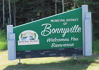
The Municipal District of Bonnyville No. 87 is a municipal district (MD) in northeastern Alberta, Canada in Division No. 12. It is located adjacent to the province of Saskatchewan on the east.

The Municipal District of Taber is a municipal district (MD) in southern Alberta, Canada. It is located in Census Division 2.

Claresholm is a town located within southern Alberta, Canada. It is located on Highway 2, approximately 91 km (57 mi) northwest of the City of Lethbridge and 125 km (78 mi) south of the City of Calgary.

Division No. 3 is a census division in Alberta, Canada. It is located in the southwest corner of southern Alberta and its largest urban community is the Town of Claresholm.
Granum is a hamlet in southern Alberta, Canada that is under the jurisdiction of the Municipal District of Willow Creek No. 26. It is located at the junction of Highway 2 and Highway 519 west of Lethbridge. Incorporated as the Village of Leavings in 1904, it changed its name to Granum in 1908 and held town status between late 1910 and early 2020.

Hines Creek is a village in northern Alberta, Canada. It is located 67 km west of Grimshaw and 28 km north of Fairview, along Highway 64.
Lomond is a village in Vulcan County, Alberta Canada. It is located at the intersection of Highway 845 and Highway 531, approximately 74 kilometres (46 mi) southwest of Brooks and 49 kilometres (30 mi) east of Vulcan. The village is a farming service community. Lomond was named for Loch Lomond, Scotland.

The Municipal District of Acadia No. 34 is a municipal district (MD) in southern Alberta, Canada, east of Calgary, close to the Saskatchewan border, in Census Division No. 4.

The Municipal District of Bighorn No. 8 is a municipal district (MD) situated in Census Division No. 15 of Alberta, Canada. It is located between Calgary and Banff National Park, north of Kananaskis Improvement District. Highway 1 passes through the municipal district.
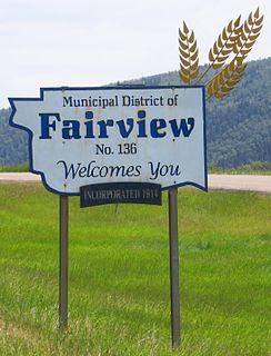
The Municipal District of Fairview No. 136 is a municipal district (MD) in northwestern Alberta, Canada. It is located in Census Division 19.

The Municipal District of Opportunity No. 17 is a municipal district (MD) occupying a remote area in central northern Alberta, Canada. Located in Census Division 17 north of the Town of Athabasca, its municipal office is located in the Hamlet of Wabasca.

The Municipal District of Peace No. 135 is a municipal district (MD) in northwestern Alberta, Canada. Located in Census Division No. 19, its municipal office is located outside but adjacent to the Village of Berwyn.

The Municipal District of Smoky River No. 130 is a municipal district (MD) in northwestern Alberta, Canada. Located in Census Division No. 19, its municipal office is located in the Town of Falher.

The Municipal District of Wainwright No. 61 is a municipal district (MD) in eastern Alberta, Canada. Located in Census Division No. 7., its municipal office is located in the Town of Wainwright. The municipal district is bisected north-south by the Buffalo Trail and east-west by the Poundmaker Trail.

The Municipal District of Spirit River No. 133 is a municipal district (MD) in northwest Alberta, Canada, north of Grande Prairie. Located in the Upper Peace Region, its municipal office is located in the Town of Spirit River. With an area of 683.6 km2 (263.9 sq mi), it is the smallest municipal district in Alberta.
The Municipal District of Ranchland No. 66 is a municipal district (MD) in southwest Alberta, Canada. Containing no urban communities of any kind, its municipal office is located in Chain Lakes Provincial Park, approximately 38 km (24 mi) southwest of the Town of Nanton. Ranchland's rugged foothill terrain is unsuited for the crop agriculture practiced elsewhere in Alberta, and ranching remains the single livelihood of its inhabitants. With a 2016 population of 92, it is the least populated municipal district in Alberta, and its population density of 29 square kilometres for every resident is almost exactly equal to that of the Northwest Territories.

The Municipal District of Provost No. 52 is a municipal district (MD) in east-central Alberta, Canada, on the Alberta/Saskatchewan border. Located in Census Division No. 7, its municipal office is located in the Town of Provost.

The Municipal District of Pincher Creek No. 9 is a municipal district (MD) in southwestern Alberta, Canada. Located in Census Division No. 3, its municipal office is located in the Town of Pincher Creek.

Special Area No. 4 is a special area in central Alberta, Canada. It is a rural municipality similar to a municipal district; however, the elected council is overseen by four representatives appointed by the province, the Special Areas Board.

