This is a list of the National Register of Historic Places listings in Amelia County, Virginia.

This is a list of the National Register of Historic Places listings in Bath County, Virginia.

This is a list of the National Register of Historic Places listings in Washington County, Virginia.

This is a list of the National Register of Historic Places listings in Bedford County, Pennsylvania.

This is a list of the National Register of Historic Places listings in Charlotte County, Virginia.
This is a list of the National Register of Historic Places listings in Lynchburg, Virginia.

This is a list of the National Register of Historic Places listings in Clarke County, Virginia.
This is a list of the National Register of Historic Places listings in Culpeper County, Virginia.

This is a list of the National Register of Historic Places listings in Dickenson County, Virginia.

This is a list of the National Register of Historic Places listings in Essex County, Virginia.

This is a list of the National Register of Historic Places listings in Goochland County, Virginia.

This is a list of the National Register of Historic Places listings in Greene County, Virginia.

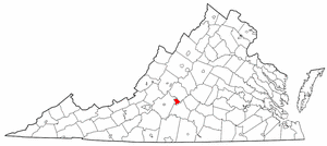
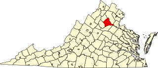
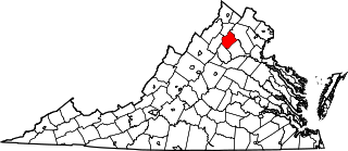
This is a list of the National Register of Historic Places listings in Orange County, Virginia.
This is a list of the National Register of Historic Places listings in Rappahannock County, Virginia.

This is a list of the National Register of Historic Places listings in Shenandoah County, Virginia.
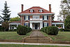
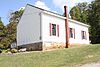
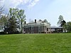
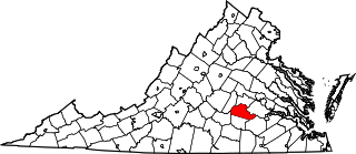
This is intended to be a complete list of the properties and districts on the National Register of Historic Places in Tazewell County, Virginia, United States. The locations of National Register properties and districts for which the latitude and longitude coordinates are included below, may be seen in a Google map.

This is a list of the National Register of Historic Places listings in Prince Edward County, Virginia.

This is a list of the National Register of Historic Places listings in Sussex County, Virginia.

This is a list of the National Register of Historic Places listings in Giles County, Virginia.

This is a list of the National Register of Historic Places listings in Buchanan County, Virginia.