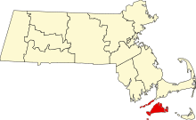
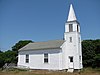
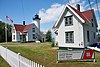
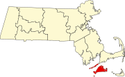
This is a list of the National Register of Historic Places listings in Barnstable County, Massachusetts.
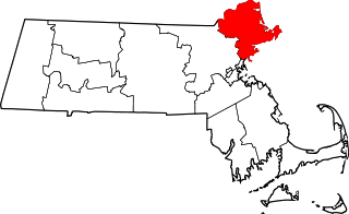
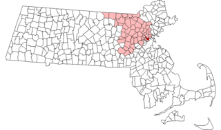
This list is of that portion of the National Register of Historic Places (NRHP) designated in Essex County, Massachusetts. The locations of these properties and districts for which the latitude and longitude coordinates are included below, may be seen in a map.

This is a list of the National Register of Historic Places listings in Hampden County, Massachusetts.

This is a list of the National Register of Historic Places listings in Plymouth County, Massachusetts.

This is a list of the National Register of Historic Places listings in Suffolk County, Massachusetts.

This is a list of the National Register of Historic Places listings in Franklin County, Massachusetts.

This is a list of properties on the National Register of Historic Places in Hampshire County, Massachusetts.

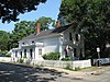
This is a list of the National Register of Historic Places listings in Nantucket County, Massachusetts.

This is a list of sites listed on the National Register of Historic Places in Cambridge, Massachusetts. This is intended to be a complete list of the properties and districts on the National Register of Historic Places in Cambridge, Massachusetts, United States. Latitude and longitude coordinates are provided for many National Register properties and districts; these locations may be seen together in an online map.
This is a list of properties and historic districts in Somerville, Massachusetts, that have been listed on the National Register of Historic Places.
This is a list of properties and historic districts in Reading, Massachusetts, copied from the National Register of Historic Places. These are in Middlesex County, Massachusetts.
This is a list of properties and historic districts in Milton, Massachusetts, that are listed on the National Register of Historic Places.

This is a list of the National Register of Historic Places listings in Andover, Massachusetts.
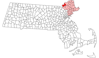
This is intended to be a complete list of the properties and districts on the National Register of Historic Places in Methuen, Massachusetts, United States. The locations of National Register properties and districts for which the latitude and longitude coordinates are included below, may be seen in an online map.

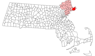
The following properties are listed on the National Register of Historic Places in Lawrence, Massachusetts.

This is a list of the National Register of Historic Places listings in Salem, Massachusetts.

This is a list of the National Register of Historic Places listings in Lynn, Massachusetts.
This is a list of the National Register of Historic Places listings in Gloucester, Massachusetts.

This is a list of the National Register of Historic Places listings in Ipswich, Massachusetts.
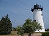
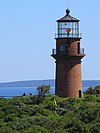
This is a list of the National Register of Historic Places listings in Cape Cod National Seashore.