This is a list of the National Register of Historic Places listings in Erie County, Ohio.

This is a list of the National Register of Historic Places listings in Lucas County, Ohio.

This is a list of the National Register of Historic Places listings in Lorain County, Ohio.

This is a list of the National Register of Historic Places listings in Seneca County, Ohio.

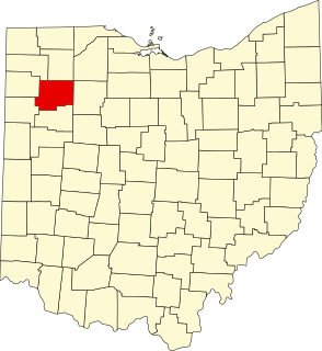
This is a list of the National Register of Historic Places listings in Miami County, Ohio.
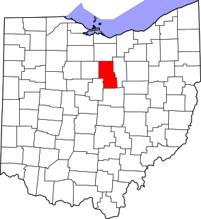
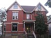
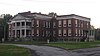
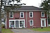
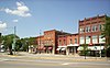
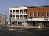
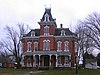
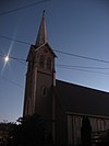
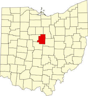
This is intended to be a complete list of the properties and districts on the National Register of Historic Places in Richland County, Ohio, United States. The locations of National Register properties and districts for which the latitude and longitude coordinates are included below, may be seen in an online map.

This is a list of the National Register of Historic Places listings in Washington County, Ohio.

This is a list of the National Register of Historic Places listings in Ottawa County, Ohio.
This is a list of the National Register of Historic Places listings in Crawford County, Ohio.
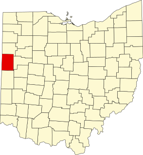
This is a list of the National Register of Historic Places listings in Darke County, Ohio.
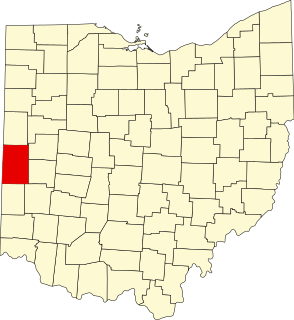
This is a list of the National Register of Historic Places listings in Mercer County, Ohio.

This is a list of the National Register of Historic Places listings in Ashland County, Ohio.
This is a list of the National Register of Historic Places listings in Morrow County, Ohio.

This is a list of the National Register of Historic Places listings in Hancock County, Ohio.

This is a list of the National Register of Historic Places listings in Sandusky County, Ohio.
This is a list of the National Register of Historic Places listings in Putnam County, Ohio.

This is a list of the National Register of Historic Places listings in Wyandot County, Ohio.

This is a list of the National Register of Historic Places listings in Noble County, Ohio.

This is a list of the National Register of Historic Places listings in Gallia County, Ohio.

This is a list of the National Register of Historic Places listings in Harrison County, Ohio.