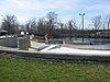
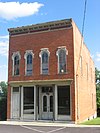
This is a list of the National Register of Historic Places listings in Putnam County, Ohio.
Contents
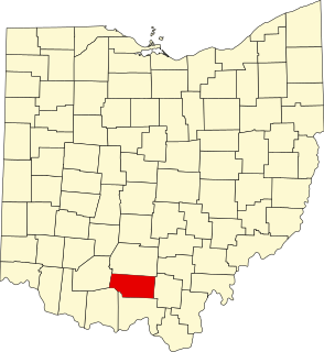
This is intended to be a complete list of the properties and districts on the National Register of Historic Places in Putnam County, Ohio, United States. The locations of National Register properties and districts for which the latitude and longitude coordinates are included below, may be seen in a Google map. [1]

The National Register of Historic Places (NRHP) is the United States federal government's official list of districts, sites, buildings, structures, and objects deemed worthy of preservation for their historical significance. A property listed in the National Register, or located within a National Register Historic District, may qualify for tax incentives derived from the total value of expenses incurred preserving the property.

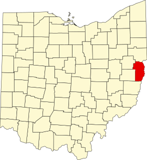
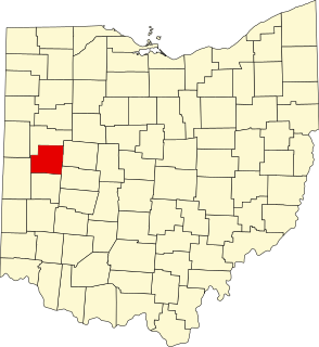
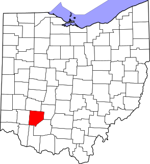
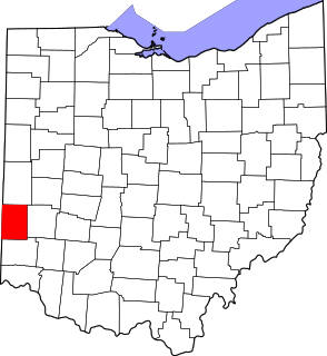
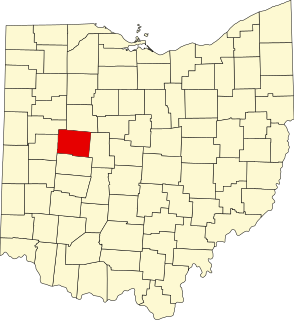
Putnam County is a county located in the U.S. state of Ohio. As of the 2010 census, the population was 34,499. Its county seat is Ottawa. The county was created in 1820 and later organized in 1834. Its name is in honor of Israel Putnam, who was a hero in the French and Indian War and a general in the American Revolutionary War.

Ohio is a Midwestern state in the Great Lakes region of the United States. Of the fifty states, it is the 34th largest by area, the seventh most populous, and the tenth most densely populated. The state's capital and largest city is Columbus.
There are 10 properties and districts listed on the National Register in the county.
- This National Park Service list is complete through NPS recent listings posted March 7, 2019. [2]