List of the National Register of Historic Places listings in Schuyler County, New York
Contents
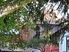
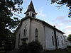
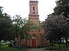
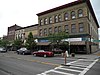
This is intended to be a complete list of properties and districts listed on the National Register of Historic Places in Schuyler County, New York. The locations of National Register properties and districts (at least for all showing latitude and longitude coordinates below) may be seen in a map by clicking on "Map of all coordinates". [1] One site, Lamoka, is further designated a U.S. National Historic Landmark.

The National Register of Historic Places (NRHP) is the United States federal government's official list of districts, sites, buildings, structures, and objects deemed worthy of preservation for their historical significance. A property listed in the National Register, or located within a National Register Historic District, may qualify for tax incentives derived from the total value of expenses incurred preserving the property.

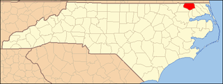
Schuyler County is a county in the U.S. state of New York. As of the 2010 census, the population was 18,343, making it the second-least populous county in New York. The county seat is Watkins Glen. The name is in honor of General Philip Schuyler, one of the four major generals in the Continental Army in the American Revolutionary War.
The Lamoka Site, or simply Lamoka, is an archaeological site near Tyrone, in Schuyler County, New York that was named a National Historic Landmark in 1961. According to the National Park Service, "This site provided the first clear evidence of an Archaic hunting and gathering culture in the Northeastern United States ".
- This National Park Service list is complete through NPS recent listings posted May 11, 2018. [2]
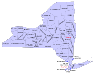
| Albany (Albany) – Allegany – Bronx – Broome – Cattaraugus – Cayuga – Chautauqua – Chemung – Chenango – Clinton – Columbia – Cortland – Delaware – Dutchess (Poughkeepsie, Rhinebeck) – Erie (Buffalo) – Essex – Franklin – Fulton – Genesee – Greene – Hamilton – Herkimer – Jefferson – Kings – Lewis – Livingston – Madison – Monroe (Rochester) – Montgomery – Nassau – New York (Below 14th Street, 14th to 59th Streets, 59th to 110th Streets, Above 110th Street, Islands) – Niagara – Oneida – Onondaga – Ontario – Orange – Orleans – Oswego – Otsego – Putnam – Queens – Rensselaer – Richmond – Rockland – St. Lawrence – Saratoga – Schenectady – Schoharie – Schuyler – Seneca – Steuben – Suffolk – Sullivan – Tioga – Tompkins – Ulster – Warren – Washington – Wayne – Westchester (Northern, Southern, New Rochelle, Peekskill, Yonkers) – Wyoming – Yates |