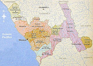
Trujillo Province is one of twelve provinces in the region La Libertad in Peru.

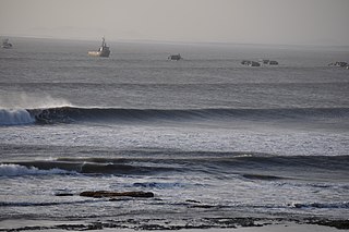
Malabrigo also called unofficially Puerto Chicama, is a port and small coastal town in northwestern Peru, located in La Libertad Region, some 70 km north of Trujillo city.. The distance from 'the point' to 'the pier' at Chicama is about 2.2 km, which locals confirm has been ridden on a single wave, although the whole cape upon which the waves break, to their most westernmost end, is 4 km long. Although other waves break further up the cape from the main section of "the point", (including "Malpaso" and "Keys" apparently nobody has ridden a single wave the length of the whole 4 km cape at Chicama, as deep water does not allow a single ride along the length of the first 1.8 km or so.
Chicama District is one of the districts of the Ascope Province in the La Libertad Region in Peru.
Rázuri District is one of eight districts of the province Ascope in Peru.

The Trujillo Metropolitan Area is the name used to refer to the metropolitan area whose core is the city of Trujillo, capital La Libertad Region, this metropolitan area located on the north coast of Peru, extends over an area of approximately 110,000 has and comprises nine of the eleven districts that make up the province of Trujillo. According to population statistics of INEI, It is the third most populous metropolitan area of Peru.

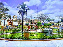
Chicama is a town in Northern Peru, capital of the district of Chicama of Ascope Province in the region La Libertad. This town is located beside the Pan-American Highway some 33 km north of Trujillo city in the agricultural Chicama Valley.

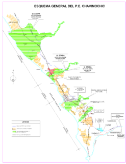
Chicama Valley is an area located at north of the Valley of Moche in La Libertad Region, northern Peru, it has agricultural resources where one of the main products is cane of sugar; this valley has been formed on both sides of the Chicama River.

Chocope is a town in Northern Peru, capital of the district of Chocope in the region La Libertad. This town is located beside the Pan-American Highway some 45 km north of Trujillo city in the agricultural Chicama Valley.

Casa Grande is a town in Northern Peru, capital of the district of Casa Grande of Ascope Province in the region La Libertad. This town is located beside the Pan-American Highway some 48 km north of Trujillo city in the agricultural Chicama Valley.

Magdalena de Cao is a town in Northern Peru, capital of the district Magdalena de Cao of Ascope Province in the region La Libertad. This town is located some 56 km northwest of Trujillo city in the agricultural Chicama Valley.

Santiago de Cao is a town in Northern Peru, capital of the district Santiago de Cao of Ascope Province in the region La Libertad. This town is located some 33 km northwest of Trujillo city in the agricultural Chicama Valley.

Chiclín is a town in Northern Peru in Chicama District of Ascope Province in the region La Libertad. This town is located beside the Pan-American Highway some 35 km north of Trujillo city in the agricultural Chicama Valley.

Sausal is a town in Northern Peru in Chicama District of Ascope Province in the region La Libertad. This town is located some 65 km north of Trujillo city in the agricultural Chicama Valley.

Roma is a town in Northern Peru in Casa Grande District of Ascope Province in the region La Libertad. This town is located some 44 km north of Trujillo city in the agricultural Chicama Valley.

Chiquitoy is a town in Northern Peru in Santiago de Cao district of Ascope Province in the region La Libertad. This town is located some 38 km northwest of Trujillo city in the agricultural Chicama Valley.


