Bragg Creek is a hamlet in southern Alberta under the jurisdiction of Rocky View County in Division No. 6. It is also recognized as a designated place by Statistics Canada.

Bragg Creek Provincial Park is a provincial park in the Rocky Mountains, in Alberta, Canada, at the eastern edge of Kananaskis Country. The park is located near the Elbow River and includes facilities for picnicking, hiking, and fishing.

Rocky Comfort is an unincorporated community in northeastern McDonald County, Missouri, United States, on Route 76. It is part of the Fayetteville–Springdale–Rogers, AR-MO Metropolitan Statistical Area.

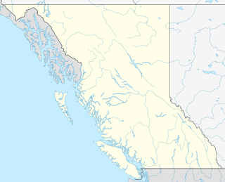
Marl Creek Provincial Park is a provincial park in British Columbia, Canada, located on the Trans-Canada Highway 25 kilometres (16 mi) north of Golden in the Rocky Mountain Trench.

The Hart Ranges are one of the main geographic subdivisions of the Canadian Rockies and are the main part of the area that is meant by the Northern Rockies, although the much larger Muskwa Ranges to the north are more deserving of that term — but also much more inaccessible and much less visited — and the Northern Rockies are generally also considered to extend at least as far south as Mount Robson, which is in the Continental Ranges. The Hart Ranges were named in honour of British Columbia Premier John Hart, as is the highway which traverses the Pine Pass in the northern part of the range, connecting the north-central Interior of the province to its Peace River District to the northeast.

Evitts Creek is a tributary stream of the North Branch Potomac River in the U.S. states of Pennsylvania and Maryland. The confluence of Evitts Creek and the North Branch Potomac River is located 2 miles (3 km) east of Cumberland, Maryland.

Evitts Mountain is a stratigraphic ridge in the Ridge and Valley region of the Appalachian Mountains, located in Bedford County, Pennsylvania and Allegany County, Maryland

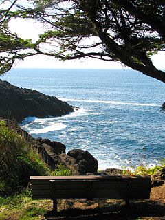
Rocky Creek State Scenic Viewpoint is a state park in Lincoln County in northwestern Oregon, United States. Administered by the Oregon Parks and Recreation Department, the 59-acre (24 ha) park lies along a bluff between Whale Cove and Rocky Creek. The park extends south along the Otter Crest Loop Road to the Rocky Creek Bridge.

The Timber Creek Campground Comfort Stations are a set of three historic public toilet facilities in Rocky Mountain National Park. Designed in 1935 by landscape architect Howard W. Baker of the National Park Service Branch of Plans and Designs, the National Park Service Rustic buildings were built with Civilian Conservation Corps labor in 1939. They were added to the National Register of Historic Places on January 29, 1988.

Rocky Creek is an unincorporated community in Hillsborough County, Florida, United States. Although a separate community, it is a part of the census-designated place (CDP) of Town 'n' Country. The ZIP code for the community is 33615.
Honey Creek State Park is a 30-acre (120,000 m2) Oklahoma state park located on Grand Lake, near the city of Grove, Oklahoma in Delaware County, Oklahoma

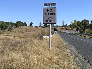
Rocky River, a watercourse of the Gwydir catchment within the Murray–Darling basin, is located in the Northern Tablelands district of New South Wales, Australia.
Timber Creek may refer to:

The Rocky Ponds Creek, a watercourse that is part of the Murrumbidgee catchment within the Murray–Darling basin, is located in the South West Slopes region of New South Wales, Australia.
This page is based on this
Wikipedia article Text is available under the
CC BY-SA 4.0 license; additional terms may apply.
Images, videos and audio are available under their respective licenses.


