The Rural Municipality of Loreburn No. 254 is a rural municipality (RM) in the Canadian province of Saskatchewan within Census Division No. 11 and SARM Division No. 5. It is located in the south-central portion of the province.

The Rural Municipality of Wreford No. 280 is a rural municipality (RM) in the Canadian province of Saskatchewan within Census Division No. 11 and SARM Division No. 5. Located in the south-central portion of the province, it is north of the city of Regina.

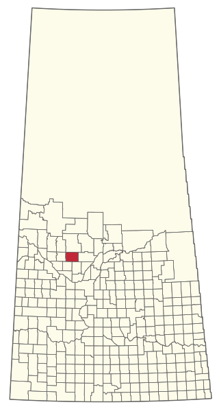
The Rural Municipality of Morris No. 312 is a rural municipality (RM) in the Canadian province of Saskatchewan within Census Division No. 11 and SARM Division No. 5.

The Rural Municipality of Wood Creek No. 281 is a rural municipality (RM) in the Canadian province of Saskatchewan within Census Division No. 11 and SARM Division No. 5. It is located in the south-central portion of the province.

The Rural Municipality of Barrier Valley No. 397 is a rural municipality (RM) in the Canadian province of Saskatchewan within Census Division No. 14 and SARM Division No. 4. It is located in the east-central portion of the province.

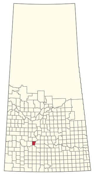
The Rural Municipality of Carmichael No. 109 is a rural municipality (RM) in the Canadian province of Saskatchewan within Census Division No. 4 and SARM Division No. 3.
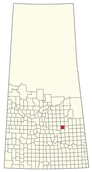
The Rural Municipality of Elfros No. 307 is a rural municipality (RM) in the Canadian province of Saskatchewan within Census Division No. 10 and SARM Division No. 4. It is located in the east-central portion of the province.

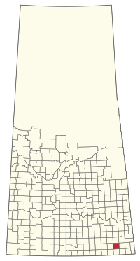
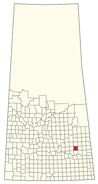
The Rural Municipality of Insinger No. 275 is a rural municipality (RM) in the Canadian province of Saskatchewan within Census Division No. 9 and SARM Division No. 4. It is located in the east-central portion of the province.

The Rural Municipality of Mount Pleasant No. 2 is a rural municipality (RM) in the Canadian province of Saskatchewan within Census Division No. 1 and SARM Division No. 1. Located in the southeast portion of the province, it is adjacent to the United States border, neighbouring Renville County in North Dakota.

The Rural Municipality of Cambria No. 6 is a rural municipality (RM) in the Canadian province of Saskatchewan within Census Division No. 2 and SARM Division No. 1. Located in the southeast portion of the province, it is adjacent to the United States border, neighbouring Divide County in North Dakota.

The Rural Municipality of Brock No. 64 is a rural municipality (RM) in the Canadian province of Saskatchewan within Census Division No. 1 and SARM Division No. 1. It is located in the southeast portion of the province.
The Rural Municipality of Bjorkdale No. 426 is a rural municipality (RM) in the Canadian province of Saskatchewan within Census Division No. 14 and SARM Division No. 4.
The Rural Municipality of Stanley No. 215 is a rural municipality (RM) in the Canadian province of Saskatchewan within Census Division No. 5 and SARM Division No. 1. It is located in the southeast portion of the province.
The Rural Municipality of Canaan No. 225 is a rural municipality (RM) in the Canadian province of Saskatchewan within Census Division No. 7 and SARM Division No. 3.

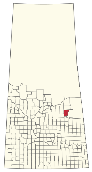
The Rural Municipality of Garry No. 245 is a rural municipality (RM) in the Canadian province of Saskatchewan within Census Division No. 9 and SARM Division No. 4.

The Rural Municipality of Grass Lake No. 381 is a rural municipality (RM) in the Canadian province of Saskatchewan within Census Division No. 13 and SARM Division No. 6.

The Rural Municipality of Harris No. 316 is a rural municipality (RM) in the Canadian province of Saskatchewan within Census Division No. 12 and SARM Division No. 5.

The Rural Municipality of Laird No. 404 is a rural municipality (RM) in the Canadian province of Saskatchewan within Census Division No. 15 and SARM Division No. 5.

The Rural Municipality of Tramping Lake No. 380 is a rural municipality (RM) in the Canadian province of Saskatchewan within Census Division No. 13 and SARM Division No. 6.
The Rural Municipality of Meeting Lake No. 466 is a rural municipality (RM) in the Canadian province of Saskatchewan within Census Division No. 16 and SARM Division No. 6.