This page is based on this
Wikipedia article Text is available under the
CC BY-SA 4.0 license; additional terms may apply.
Images, videos and audio are available under their respective licenses.

Polyarny is a town and the administrative center of the closed administrative-territorial formation of Alexandrovsk in Murmansk Oblast, Russia, situated on the outermost western side of the Kola Bay. Population: 17,293 (2010 Census); 18,552 (2002 Census); 27,635 (1989 Census).

Murmansk Oblast is a federal subject of Russia, located in the northwestern part of the country. Its administrative center is the city of Murmansk. As of the 2010 Census, its population was 795,409.

Vidyayevo is a closed rural inhabited locality in Murmansk Oblast, Russia. Despite having a rural status, it is municipally incorporated as Vidyayevo Urban Okrug, as such status is the only one allowed by the federal law for closed inhabited localities. Population: 5,771 (2010 Census); 6,307.
Iokanga or Yokanga may refer to:
Kola is a town and the administrative center of Kolsky District of Murmansk Oblast, Russia, located at the confluence of the Kola and Tuloma Rivers, 12 kilometers (7.5 mi) south of Murmansk and 24 kilometers (15 mi) southwest of Severomorsk. It is the oldest town of the Kola Peninsula. Population: 10,437 (2010 Census); 11,060 ; 16,541 (1989 Census).
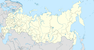
Polyarnye Zori is a town in Murmansk Oblast, Russia, located on the Niva River, Lake Imandra, and Lake Pinozero, 224 kilometers (139 mi) south of Murmansk. Population: 15,096 (2010 Census); 15,910 (2002 Census); 19,428 (1989 Census).
Umba is an urban locality in Tersky District of Murmansk Oblast, Russia, located on the Kola Peninsula at the point where the Umba River flows into the Kandalaksha Gulf. Population: 5,532 (2010 Census); 6,497 (2002 Census); 8,309 (1989 Census).
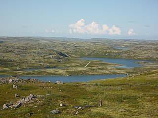
Pechengsky District is an administrative district (raion), one of the six in Murmansk Oblast, Russia. As a municipal division, it is incorporated as Pechengsky Municipal District. It is located in the northwest of the oblast, on the coast of the Barents Sea and borders Finland in the south and southwest and Norway in the west, northwest, and north. The area of the district is 8,662.22 square kilometers (3,344.50 sq mi). Its administrative center is the urban locality of Nikel. Population: 38,920 (2010 Census); 46,404 (2002 Census); 59,495 (1989 Census). The population of Nikel accounts for 32.8% of the district's total population.
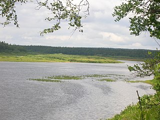
Serga River is a river in the south of the Kola Peninsula in Murmansk Oblast, Russia. It is 38 km in length. The Serga River originates from the Lake Sergozero and flows into the Varzuga River.
Zapadnaya Litsa may refer to:

Kolsky District is an administrative district (raion), one of the six in Murmansk Oblast, Russia. As a municipal division, it is incorporated as Kolsky Municipal District. It is located in the northwest of the oblast, partially lies on the Kola Peninsula, and borders with the Barents Sea in the north and Finland in the west. The area of the district is 27,600 square kilometers (10,700 sq mi). Its administrative center is the town of Kola. Population: 44,670 (2010 Census); 51,125 (2002 Census); 73,555 (1989 Census). The population of Kola accounts for 23.4% of the district's total population.

The Tersky Coast is a coastal area in Murmansk Oblast in northwest Russia. It is located on the northern side of the White Sea, between mouth of Varzuga River and Cape Svyatoy Nos. The major rivers flowing to the sea at the coast are the Ponoy and the Strelna.
Luostari is the name of several rural localities in Russia and an airbase:
Peschany or Peschanaya may refer to: