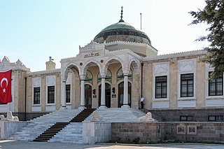
| Yenimahalle - Ankara | |
|---|---|
| District | |
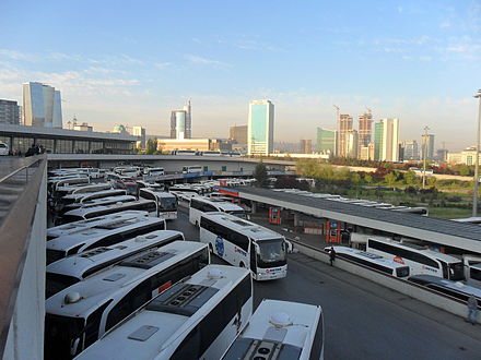
 Yenimahalle from AŞTİ | |
 Location of Ankara within Turkey. | |
 Yenimahalle - Ankara Location of Ankara within Turkey. | |
| Coordinates: 39°58′N32°49′E / 39.967°N 32.817°E | |
| Country | |
| Region | Central Anatolia |
| Province | Ankara |
| Government | |
| • Governor | Meftun Dallı |
| • Mayor | Fethi Yaşar (CHP) |
| Area [1] | |
| • District | 274.16 km2 (105.85 sq mi) |
| Elevation | 830 m (2,720 ft) |
| Population (2012) [2] | |
| • District | 687,042 |
| • District density | 2,500/km2 (6,500/sq mi) |
| Time zone | UTC+2 (EET) |
| • Summer (DST) | UTC+3 (EEST) |
| Postal code | 06xxx |
| Area code(s) | 0312 |
| Licence plate | 06 |
| Website | www.yenimahalle.gov.tr |
Yenimahalle is a metropolitan district of Ankara Province in the Central Anatolia region of Turkey, a fast-growing urban residential district of the city of Ankara, Turkey's capital. According to 2010 census, population of the urban center is 648,160. [3] The district covers an area of 274 km2 (106 sq mi), [4] and the average elevation is 830 m (2,723 ft).

Ankara Province is the capital province of Turkey.

Turkey, officially the Republic of Turkey, is a transcontinental country located mainly in Western Asia, with a smaller portion on the Balkan Peninsula in Southeast Europe. East Thrace, located in Europe, is separated from Anatolia by the Sea of Marmara, the Bosphorous strait and the Dardanelles. Turkey is bordered by Greece and Bulgaria to its northwest; Georgia to its northeast; Armenia, the Azerbaijani exclave of Nakhchivan and Iran to the east; and Iraq and Syria to the south. Ankara is its capital but Istanbul is the country's largest city. Approximately 70 to 80 per cent of the country's citizens identify as Turkish. Kurds are the largest minority; the size of the Kurdish population is a subject of dispute with estimates placing the figure at anywhere from 12 to 25 per cent of the population.
Contents
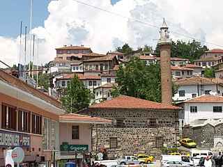
The name Yenimahalle means the new quarter and in the late 1940s the area of open land to the west of the city was allocated for civil servants and workers housing. This grew with the construction of the E5 highway through the area and even more when the metro was built. Today the district mainly consists of large estates of apartment buildings and although the area is being filled up with concrete buildings there is still green space, tennis courts and other sports areas. There is some illegal building at the edge of the district but Yenimahalle is mainly planned development. This is the home for both of Ankara's teams: Gençlerbirliği and Ankaragücü, although their shared stadium is in Altındağ.

MKE Ankaragücü or fully Makina Kimya Endüstrisi Ankaragücü, is a professional Turkish sports club located in the city of Ankara, Turkey. The club wears a yellow and navy kit and temporarily play their home matches at Osmanlı Stadium following the closure of the Ankara 19 Mayıs.

Altındağ is a metropolitan district of Ankara Province in the Central Anatolia region of Turkey, part of the city of Ankara. According to the 2000 census, the population of the district is 407,101, of which 400,023 live in the urban center of Altındağ. The district covers an area of 175 km2 (68 sq mi), and the average elevation is 850 m (2,789 ft).
82% of the working population are civil servants or workers in the city of Ankara. There is also a large retired community, and a small but growing number of traders and shopkeepers. Ankara's largest industrial area, OSTIM Industrial Zone, is on the edge of the district too. The rural areas are used mainly for growing grains and pulses.
The OSTIM Industrial Zone is a large industrial park in Ankara, Turkey aimed at Small and medium enterprises (SMEs). With around 5000 companies in eight main sectors and 50,000 employees over an area of 5 million square metres, it is Turkey's largest industrial production area. It was established in the mid-1970s.
The headquarters of the national intelligence service Millî İstihbarat Teşkilâtı is in Yenimahalle.