Castalia, Ohio

Last updated

Castalia, Ohio
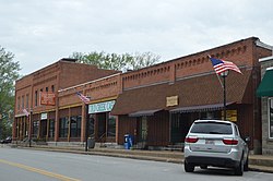
Castalia Main Street.jpg
OHMap-doton-Castalia.png
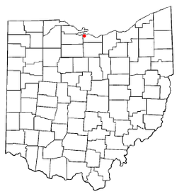
Location of Castalia, Ohio
Map of Erie County Ohio Highlighting Castalia Village.png
Location of Castalia in Erie County
Coordinates: 41°24′04″N82°48′29″W / 41.40111°N 82.80806°W / 41.40111; -82.80806
Country United States
State Ohio
County Erie
Township Margaretta
Government
   Mayor James R. Johnson[ citation needed ]
Area
[1]
  Total1.03 sq mi (2.67 km2)
  Land1.02 sq mi (2.65 km2)
  Water0.01 sq mi (0.02 km2)
Elevation
[2]
633 ft (193 m)
Population
 (2020)
  Total774
  Density757.34/sq mi (292.35/km2)
Time zone UTC-5 (Eastern (EST))
  Summer (DST) UTC-4 (EDT)
ZIP code
44824
Area code 419
FIPS code 39-12476 [3]
GNIS feature ID2397573 [2]
Website https://www.villageofcastalia.com

Castalia is a village in Erie County, Ohio, United States. The population was 774 at the 2020 census. It is part of the Sandusky, Ohio Metropolitan Statistical Area.

Contents

History

By 1738 there was a Wyandot settlement at what is now Castalia under the leadership of Nicholas Orontony. Due to growing disputes with the French and closer trade relations with Pennsylvania-based merchants, the Wyandot burned their village and relocated to the mouth of the Cuyahoga River in what is today Cleveland in 1748. [4]

Castalia was laid out in 1836. [5] The village was named after Castalia, a figure in Greek mythology. [6]

Geography

Castalia is located in western Erie County.

According to the United States Census Bureau, the village has a total area of 1.05 square miles (2.72 km2), of which 1.04 square miles (2.69 km2) is land and 0.01 square miles (0.03 km2) is water. [7]

Demographics

Historical population
CensusPop.Note
1880 117
1950 736
1960 95429.6%
1970 1,0459.5%
1980 973−6.9%
1990 915−6.0%
2000 9352.2%
2010 852−8.9%
2020 774−9.2%
U.S. Decennial Census [8]

2010 census

As of the census [9] of 2010, there were 852 people, 352 households, and 239 families residing in the village. The population density was 819.2 inhabitants per square mile (316.3/km2). There were 378 housing units at an average density of 363.5 per square mile (140.3/km2). The racial makeup of the village was 97.1% White, 0.1% African American, 0.4% Native American, 0.1% Asian, 0.7% from other races, and 1.6% from two or more races. Hispanic or Latino of any race were 3.3% of the population.

There were 352 households, of which 30.4% had children under the age of 18 living with them, 51.4% were married couples living together, 12.2% had a female householder with no husband present, 4.3% had a male householder with no wife present, and 32.1% were non-families. 27.8% of all households were made up of individuals, and 11.6% had someone living alone who was 65 years of age or older. The average household size was 2.42 and the average family size was 2.97.

The median age in the village was 40.5 years. 23.1% of residents were under the age of 18; 7.2% were between the ages of 18 and 24; 26.7% were from 25 to 44; 29.6% were from 45 to 64; and 13.3% were 65 years of age or older. The gender makeup of the village was 49.1% male and 50.9% female.

2000 census

As of the census [3] of 2000, there were 935 people, 359 households, and 266 families residing in the village. The population density was 895.6 inhabitants per square mile (345.8/km2). There were 380 housing units at an average density of 364.0 per square mile (140.5/km2). The racial makeup of the village was 97.11% White, 0.96% African American, 0.43% Native American, 0.64% from other races, and 0.86% from two or more races. Hispanic or Latino of any race were 3.32% of the population. 96.8% spoke English and 3.1% Spanish. [10]

There were 359 households, out of which 36.5% had children under the age of 18 living with them, 57.1% were married couples living together, 11.4% had a female householder with no husband present, and 25.9% were non-families. 24.0% of all households were made up of individuals, and 11.4% had someone living alone who was 65 years of age or older. The average household size was 2.60 and the average family size was 3.09.

In the village, the population was spread out, with 27.2% under the age of 18, 7.6% from 18 to 24, 28.7% from 25 to 44, 23.4% from 45 to 64, and 13.2% who were 65 years of age or older. The median age was 37 years. For every 100 females there were 92.0 males. For every 100 females age 18 and over, there were 91.8 males.

The median income for a household in the village was $41,319, and the median income for a family was $51,563. Males had a median income of $36,625 versus $24,783 for females. The per capita income for the village was $17,277. About 4.0% of families and 6.1% of the population were below the poverty line, including 6.3% of those under age 18 and 7.1% of those age 65 or over.

Notable person

Related Research Articles

<span class="mw-page-title-main">Erie County, Ohio</span> County in Ohio, United States

Erie County is a county in the northern portion of the U.S. state of Ohio. As of the 2020 census, the population was 75,622. Its county seat and largest city is Sandusky. The county is named for the Erie tribe, whose name was their word for "wildcat". It was formed in 1838 from the northern third of Huron County and a portion of Sandusky County.

<span class="mw-page-title-main">Spencerville, Ohio</span> Village in Ohio, United States

Spencerville is a village in Allen County, Ohio, United States. The population was 2,198 at the 2020 census. It is included in the Lima, Ohio Metropolitan Statistical Area.

<span class="mw-page-title-main">Summitville, Ohio</span> Village in Ohio, United States

Summitville is a village in southwestern Columbiana County, Ohio, United States. The population was 110 at the 2020 census. It is part of the Salem micropolitan area, 27 miles (43 km) miles southeast of Canton and 32 miles (51 km) southwest of Youngstown.
<span class="mw-page-title-main">Valley View, Ohio</span> Village in Ohio, United States

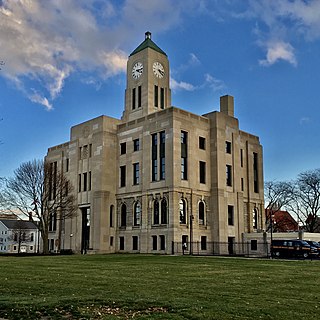
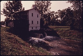
Valley View is a village in Cuyahoga County, Ohio, United States. The population was 1,897 at the 2020 census. A suburb of Cleveland, it is a part of the Cleveland metropolitan area.

<span class="mw-page-title-main">Bay View, Ohio</span> Village in Ohio, United States

Bay View is a village in Erie County, Ohio, United States. The population was 608 at the 2020 census. It is part of the Sandusky, Ohio Metropolitan Statistical Area.

<span class="mw-page-title-main">Berlin Heights, Ohio</span> Village in Ohio, United States

Berlin Heights is a village in Berlin Township, Erie County, Ohio, United States. The population was 651 at the 2020 census. It is part of the Sandusky, Ohio Metropolitan Statistical Area.

<span class="mw-page-title-main">Lockbourne, Ohio</span> Village in Ohio, United States

Lockbourne is a village in Franklin County and Pickaway County, Ohio, United States. The population was 236 at the 2020 census. Lockbourne is located near Rickenbacker International Airport, and had initially provided its original name of Lockbourne Air Force Base.

<span class="mw-page-title-main">Lockland, Ohio</span> Village in Ohio, United States

Lockland is a village in Hamilton County, Ohio, United States. The population was 3,514 at the 2020 United States Census. Lockland is located in southwest Ohio, north of Cincinnati.

<span class="mw-page-title-main">St. Bernard, Ohio</span> Village in Ohio, United States

St. Bernard or Saint Bernard is a village in Hamilton County, Ohio, United States. It is an enclave and suburb of Cincinnati. The population was 4,070 at the 2020 census.
<span class="mw-page-title-main">Bowerston, Ohio</span> Village in Ohio, United States

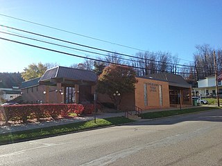
Bowerston is a village in Harrison County, Ohio, United States. The population was 356 at the 2020 census.
<span class="mw-page-title-main">Monroeville, Ohio</span> Village in Ohio, United States

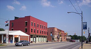
Monroeville is a village in Huron County, Ohio, United States. The population was 1,300 at the 2020 census.

<span class="mw-page-title-main">Dillonvale, Jefferson County, Ohio</span> Village in Ohio, United States

Dillonvale is a village in southern Jefferson County, Ohio, United States. The population was 589 at the 2020 census. It is part of the Weirton–Steubenville metropolitan area. Charles Eberle was the first mayor of Dillonvale and was the first Postmaster as well.
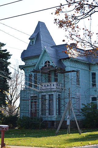
<span class="mw-page-title-main">Perry, Ohio</span> Village in Ohio, United States

Perry is a village in Lake County, Ohio, United States. The population was 1,602 at the 2020 census.
<span class="mw-page-title-main">Timberlake, Ohio</span> Village in Ohio, United States

Timberlake is a village in Lake County, Ohio, United States. The population was 629 at the 2020 census.

<span class="mw-page-title-main">Waterville, Ohio</span> City in Ohio, United States

Waterville is a city in Lucas County, Ohio, United States, along the Maumee River. A suburb of Toledo, the population was 6,003 at the 2020 census.

<span class="mw-page-title-main">Port Jefferson, Ohio</span> Village in Ohio, United States

Port Jefferson is a village in Salem Township, Shelby County, Ohio, United States. The population was 308 at the 2020 census.
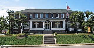
<span class="mw-page-title-main">Brewster, Ohio</span> Village in Ohio, United States

Brewster is a village in southwestern Stark County, Ohio, United States. The population was 2,113 at the 2020 census. It is part of the Canton–Massillon metropolitan area.

<span class="mw-page-title-main">Bolivar, Ohio</span> Village in Ohio, United States

Bolivar is a village in Tuscarawas County, Ohio, United States. The population was 1,000 at the 2020 census. Bolivar is also home to Fort Laurens, the only American Revolutionary War-era fort in what is now Ohio.

<span class="mw-page-title-main">Harpster, Ohio</span> Village in Ohio, United States

Harpster is a village in Wyandot County, Ohio, United States. The population was 160 at the 2020 census.

<span class="mw-page-title-main">Sycamore, Ohio</span> Village in Ohio, United States

Sycamore is a village in Wyandot County, Ohio, United States. The population was 793 at the 2020 census.
References

  1. "ArcGIS REST Services Directory". United States Census Bureau. Retrieved September 20, 2022.
  2. 1 2 U.S. Geological Survey Geographic Names Information System: Castalia, Ohio
  3. 1 2 "U.S. Census website". United States Census Bureau . Retrieved January 31, 2008.
  4. R. Douglas Hurt, The Ohio Frontier: Crucible of the Old Northwest, 1720-1830 (Bloomington: Indiana University Press, 1998) p. 14-15
  5. Williams, William W. (1879). History of the Fire Lands, Comprising Huron and Erie Counties, Ohio. Press of Leader Printing Company. pp.  498.
  6. Overman, William Daniel (1958). Ohio Town Names. Akron, OH: Atlantic Press. p. 24.
  7. "US Gazetteer files 2010". United States Census Bureau. Archived from the original on July 2, 2012. Retrieved January 6, 2013.
  8. "Census of Population and Housing". Census.gov. Retrieved June 4, 2015.
  9. "U.S. Census website". United States Census Bureau . Retrieved January 6, 2013.
  10. "Data Center Results".