The protected areas of South Africa include national parks and marine protected areas managed by the national government, public nature reserves managed by provincial and local governments, and private nature reserves managed by private landowners. Most protected areas are intended for the conservation of flora and fauna. National parks are maintained by South African National Parks (SANParks). A number of national parks have been incorporated in transfrontier conservation areas.

The Orange River is the longest river in South Africa and the Orange River Basin extends extensively into Namibia and Botswana to the north. It rises in the Drakensberg mountains in Lesotho, flowing westwards through South Africa to the Atlantic Ocean. The river forms part of the international borders between South Africa and Namibia and between South Africa and Lesotho, as well as several provincial borders within South Africa. Except for Upington, it does not pass through any major cities. The Orange River plays an important role in the South African economy by providing water for irrigation and hydroelectric power. The river was named the Orange River in honour of the Dutch ruling family, the House of Orange, by the Dutch explorer Robert Jacob Gordon. Other names include Gariep River, Groote River or Senqu River.

An inselberg or monadnock is an isolated rock hill, knob, ridge, or small mountain that rises abruptly from a gently sloping or virtually level surrounding plain. In southern and south-central Africa, a similar formation of granite is known as a koppie, an Afrikaans word from the Dutch word kopje. If the inselberg is dome-shaped and formed from granite or gneiss, it can also be called a bornhardt, though not all bornhardts are inselbergs.
Petrus Steyn is a small farming town between Tweeling and Kroonstad, 35 km north-east of Lindley in the Free State province of South Africa. It is at the centre of an agricultural area known for wheat, maize, sunflower, potato, cattle,sheep production and forms part of the breadbasket in the Free State.

The Highveld is the portion of the South African inland plateau which has an altitude above roughly 1500 m, but below 2100 m, thus excluding the Lesotho mountain regions to the south-east of the Highveld. It is home to some of the country's most important commercial farming areas, as well as its largest concentration of metropolitan centres, especially the Gauteng conurbation, which accommodates one-third of South Africa's population.
The Lonehill Koppie is a legendary hill outside Johannesburg, South Africa. It is notable for the legends that surround the large boulder that sits atop the hill, precariously balanced on several other boulders.

Gariep Dam located in South Africa, near the town of Norvalspont, bordering the Free State and Eastern Cape provinces. Its primary purpose is for irrigation, domestic and industrial use as well as for power generation.

Emmarentia is a suburb of Johannesburg, South Africa.

The Mokolo River is a major watercourse in Limpopo Province of South Africa. This river collects much of the drainage of the Waterberg Massif and discharges it to the Limpopo River. The river's catchment area comprises 8,387 square kilometres (3,238 sq mi).

Alma is a small town situated south of Vaalwater in the Limpopo province of South Africa. The area is surrounded by green-gray bushveld vegetation and a few private game reserves are located in the malaria free area.

Oviston Nature Reserve is a protected area in the Eastern Cape Province, South Africa. The nature reserve is managed by Eastern Cape Parks. It is located on the southern shores of the Gariep Dam.

Emmarentia Dam is a dam in Emmarentia, Johannesburg, South Africa. There are several dams that make up Emmarentia Dam, despite its allusion to the singular, with two small dams found upstream in the Johannesburg Botanical Gardens.
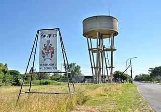
Koppies Dam Nature Reserve, is situated on the highveld of the Free State province of South Africa. The town of Koppies lies 55 km north of Kroonstad, just off the National road N1 between Kroonstad and Sasolburg. The nature reserve is 16 km east of the town, and is about 3 400 ha in size.
In South Africa, the Free State Parks are the responsibility of the Department of Economic Development, Tourism and Environmental Affairs of the Free State Province.
Middle Vaal WMA. or Middle Vaal Water Management Area , Includes the following major rivers: the Vet River, Vals River and Vaal River, and covers the following Dams:
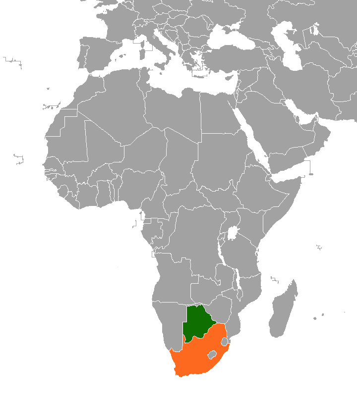
The border between Botswana and South Africa is 1,969 kilometres (1,223 mi) long. More than 90% of the border follows rivers, including the Nossob, Molopo, Marico and Limpopo.
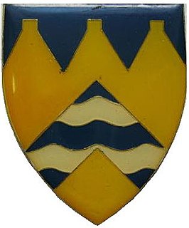
Koppies Commando was a light infantry regiment of the South African Army. It formed part of the South African Army Infantry Formation as well as the South African Territorial Reserve.