Druid Hills is a community which includes both a census-designated place (CDP) in unincorporated DeKalb County, Georgia, United States, as well as a neighborhood of the city of Atlanta. The CDP's population was 14,568 at the 2010 census. The CDP contains the main campus of Emory University and the Centers for Disease Control and Prevention (CDC). The Atlanta-city section of Druid Hills is one of Atlanta's most affluent neighborhoods with a mean household income in excess of $238,500.
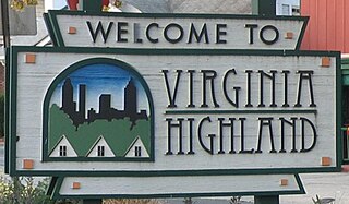
Virginia–Highland is an affluent suburb of Atlanta, Georgia, founded in the early 20th century as a streetcar suburb. It is named after the intersection of Virginia Avenue and North Highland Avenue, the heart of a busy commercial district at the center of the neighborhood. The neighborhood is famous for its bungalows and other historic houses from the 1910s to the 1930s. It has become a destination for people across Atlanta with its eclectic mix of restaurants, bars, and shops and for the Summerfest festival, annual Tour of Homes and other events.
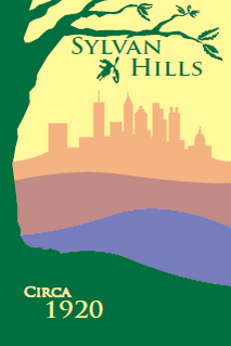
Sylvan Hills is a neighborhood in southwest Atlanta, Georgia.

Capitol View Manor is a small community in Southwest Atlanta that was named for the excellent view of the Georgia State Capitol building. Its boundaries include I-75/85 to the east, the Beltline to the north, Metropolitan Parkway to the west, and Atlanta Technical College to the south.

Morningside/Lenox Park is an intown neighborhood in Atlanta, Georgia founded in 1923. It is located north of Virginia-Highland, east of Ansley Park and west of Druid Hills. Approximately 3,500 households comprise the neighborhood that includes the original subdivisions of Morningside, Lenox Park, University Park, Noble Park, Johnson Estates and Hylan Park.

Chastain Memorial Park is the largest city park in Atlanta, Georgia. It is a 268-acre (1.08 km2) park near the northern edge of the city. Included in the park are jogging paths, playgrounds, tennis courts, a golf course, swimming pool, horse park and amphitheater.
The Morningside Nature Preserve is a project initiated by the Wildwood Urban Forest Committee to stop the destruction of 30 acres (120,000 m2) of forest located in northeast Atlanta and to develop this land for leisure and educational uses, but in a way that is consistent with conservation principles, including protection of water resources and native vegetation.

Pine Hills is a neighborhood of Atlanta, Georgia and also part of the Buckhead Community, located in north east Atlanta on the eastern part of Buckhead. Many homes in Pine Hills are also located in Brookhaven, GA. It is roughly bounded by Buford Highway to the south, the railway to the north, Lenox Road to the west and East Roxboro Road to the east. The western and central section of Pine Hills is in Fulton County and a smaller section to the east is in Dekalb County, east of a north-south line that roughly passes through the intersection of East Roxboro Road and West Roxboro Road. The area includes part of the 30324 and 30329 postal zip codes.
Lindridge/Martin Manor is an intown neighborhood of Atlanta, Georgia. It consists mostly of the single-family homes located off Lindbergh Drive in between I-85 and Cheshire Bridge Road. In addition, it includes a small commercial area of three streets west of I-85 bounded by Peachtree Creek, Piedmont Road and the Southern railroad. The neighborhood's boundaries are I-85 on the northwest, Morningside-Lenox Park on the south, and North Druid Hills in unincorporated DeKalb County, Georgia on the east.
Chosewood Park is a neighborhood in southeast Atlanta, Georgia in the United States. It is located south of Peoplestown and Grant Park, west of Boulevard Heights and Benteen Park, northwest of Thomasville Heights and the Atlanta federal penitentiary, and northeast of South Atlanta and Lakewood Heights. It is situated directly on the path of the Atlanta Beltline, which has begun to acquire and develop properties along the rail lines in the Chosewood corridor, including the Boulevard Crossing Park.
Easton was a farming community located at the crossroads of Plaster Bridge Road and Monroe Drive, a location where today, three intown neighborhoods of Atlanta come together: Morningside-Lenox Park, Piedmont Heights and Ansley Park. Farmers took their cotton and corn to Walker's Mill, across from what is now Ansley Mall.
Lanier University, named after poet Sidney Lanier, was a short-lived university in today's Morningside-Lenox Park neighborhood of Atlanta, Georgia.
Albert Anthony Ten Eyck Brown (1878–1940) was an architect active in Atlanta, Georgia and other areas. Brown was born in Albany, New York. He studied at the New York Academy of Design.
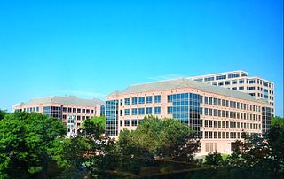
Lenox Park is a neighborhood of homes and office buildings located primarily within the city of Brookhaven, Georgia, just east of the northern border of the city of Atlanta.

Johnsontown was a settlement in what is now the Buckhead Community of Atlanta, Georgia which was located on the present site of the Lenox MARTA station. It was settled by African Americans in 1912. Until 1982 approximately thirty families lived here on 23-foot (7.0 m) by 143-foot (44 m) lots, until the land was acquired to build the rapid transit station.
North Buckhead is a neighborhood in the Buckhead district, at the northern edge of the city of Atlanta, Georgia, and is one of Atlanta's most affluent neighborhoods.
Buckhead Forest is a neighborhood of 165 homes in the Buckhead district of Atlanta, Georgia.

The Standard Club is a private country club, founded as the Concordia Association in 1867. Originally located in Atlanta, Georgia, United States, the club is now located in the northern suburb of Johns Creek.
Carey Park is a neighborhood on the Upper Westside of Atlanta with a population of 1,739.
Lanier Boulevard Parkway is a 2.1-acre (0.85 ha) park in Atlanta, Georgia. It is located in the 1-mile (1.6 km)-long median of Lanier Boulevard in the Virginia Highland and Morningside/Lenox Park neighborhoods.


