Bemmel is a village in Gelderland in the municipality of Lingewaard. It was previously a municipality of its own, but in 2001 it merged with Huissen and Gendt, and in 2003 this new municipality was named Lingewaard. Bemmel is situated between two major cities; Arnhem and Nijmegen, and is thus bordered by the rivers Rhine and Waal. It has a population of 12.480.

The Broad Fourteens is an area of the southern North Sea that is fairly consistently fourteen fathoms deep. Thus, on a nautical chart with depths given in fathoms, a broad area with many "14" notations can be seen.
Wasagamack First Nation is an Oji-Cree First Nation band government in Manitoba, Canada. As of December 2014 the registered population of the Wasagamack First Nation was 2,017, of which 1,823 lived on their own reserve.
The Wanda Mountains are located in the Heilongjiang Province of China.

Lukavice is a village in the Pardubice Region of the Czech Republic. It has around 800 inhabitants.

Zagórów is a town in Słupca County, Greater Poland Voivodeship, Poland, with 2,908 inhabitants (2004).

Natchiboura is a village in the Bassar Prefecture in the Kara Region of north-western Togo.
Mahra is a town and union council in Dera Ismail Khan District of Khyber-Pakhtunkhwa. It is located at 31°30'0N 70°45'0E and has an altitude of 154 metres.
Anielin is a village in the administrative district of Gmina Nakło nad Notecią, within Nakło County, Kuyavian-Pomeranian Voivodeship, in north-central Poland.
Pietkowo Drugie is a village in the administrative district of Gmina Poświętne, within Białystok County, Podlaskie Voivodeship, in north-eastern Poland.

Oğuldərə is a village in the Lachin Rayon of Azerbaijan.

Swaciok is a village in the administrative district of Gmina Kochanowice, within Lubliniec County, Silesian Voivodeship, in southern Poland. It lies approximately 6 kilometres (4 mi) east of Lubliniec and 53 km (33 mi) north of the regional capital Katowice.

Dam Dim falls under Malbazar subdivision in Jalpaiguri district, West Bengal, India. It is famous for tea gardens and moist deciduous forests.
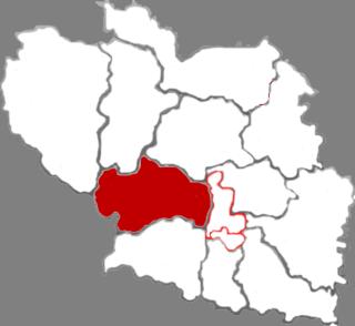
Honghuagang District is a district of the city of Zunyi, Guizhou province, China. It is under the administration of Zunyi city. Its population as of 2002 was 470,000.

Tunliu is a district of the city of Changzhi, Shanxi province, China. Lord Chang'an, Chengjiao, brother of Qin Shi Huang died here.
Batu Niah is a small town in Sarawak, Malaysia. It is located at 3°48'0" N, 113°45'0" E on the island of Borneo.
Aleksandria (village) is a village in Krushari Municipality, Dobrich Province, northeastern Bulgaria.

Milanovo is a village in the municipality of Vranje, Serbia. According to the 2002 census, the village has a population of 273 people.
Cividino (Siidì in bergamasque is part of the Castelli Calepio community, in the Province of Bergamo. It has nearly 4000 inhabitants.


