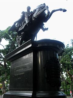
Simón José Antonio de la Santísima Trinidad Bolívar Palacios Ponte y Blanco, generally known as Simón Bolívar and also colloquially as El Libertador, or the Liberator, was a Venezuelan military and political leader who led the secession of what are currently the states of Venezuela, Bolivia, Colombia, Ecuador, Peru, and Panama from the Spanish Empire.
Volta Grande is a Brazilian municipality in the state of Minas Gerais. As of 2004 its population was estimated to be 5,118.
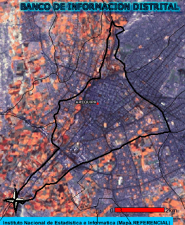
Arequipa is a district of the Arequipa Province in Peru. The downtown area of the city of Arequipa, which is the country's second-largest city, is located in this district. The current mayor of the district is Omar Julio Candia Aguilar.
Babine Lake Marine Provincial Park is a provincial park in British Columbia, Canada. The park was established by Order-in-Council in 1993, comprising two sites at Pendleton Bay totalling 36.9 hectares. Another was established in the same year at Smithers Landing, comprising approximately 157.8 hectares. Three more sites were added in 2001, Hook (Deep) Bay, Pierre Creek, Pinkut Creek and Sandpoint. All sites combined comprise approximately 492 hectares.

Bodoquena is a municipality located in the Brazilian state of Mato Grosso do Sul. Its population was 8,168 (2007) and its area is 2,507 km².
Ribeirópolis is a municipality located in the Brazilian state of Sergipe. Its population was 16,320 (2005) and its area is 262 km².

Solana de los Barros is a municipality in the province of Badajoz, Extremadura, Spain. It has a population of 2,657 and an area of 65.09 km².

Hudsonville is an unincorporated community in Harrison Township, Daviess County, Indiana.

Rvmirez is an unincorporated community in Yuba County, California. It is located on the Southern Pacific Railroad 9 miles (14 km) north-northeast of Marysville, at an elevation of 95 feet. It was named after José Manuel Ramírez Rosales, a Chilean entrepreneur who came to California for the Gold Rush.
Peixe is a municipality in the state of Tocantins in the Northern region of Brazil.

Tukzar or Tokzar or Tugzar is a town in Sancharak district of Sar-e Pol Province, Afghanistan. The town is the administrative centre of Sancharak district.
Fayfield is a residential village, located within the census-designated place of East York in York County, Pennsylvania, United States.
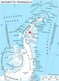
Mount Popov is the broad ice-covered peak with precipitous rocky slopes rising to 650 m in eastern Bigla Ridge on Heros Peninsula, Foyn Coast on the Antarctic Peninsula. It surmounts Beaglehole Glacier to the west and Cabinet Inlet to the northeast.
Bolívar Square in Caracas is one of the most important and recognized Venezuelan public spaces. It is located in the center of the first 25 blocks of Caracas when it was founded as "Santiago de León de Caracas" in 1567. It is in the historic center of the city in the Cathedral Parish of the Libertador Municipality.
Wescott is an unincorporated community in Custer County, Nebraska, in the United States.

The Bolivarian Museum is dedicated to Simón Bolívar, the hero of Latin American independence. It is situated in Caracas, Venezuela. The museum is run in tandem with the birthplace of Simón Bolívar. The collections include items related to Bolivar and Venezuelan independence.
Newton is an unincorporated community in Pleasant Township, Wabash County, in the U.S. state of Indiana.
Sue City is an unincorporated community in Macon County, in the U.S. state of Missouri.