Related Research Articles

Mato Grosso is one of the states of Brazil, the third largest by area, located in the western part of the country.

Mato Grosso do Sul is one of the Midwestern states of Brazil. Its total area of 357,125 square kilometers, or 137,891 square miles, is roughly the same size as Germany.

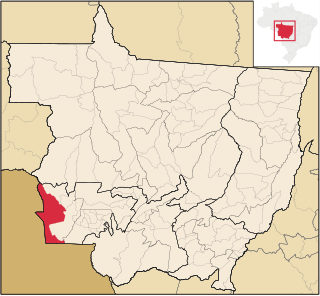
Cáceres is a municipality in the Brazilian state of Mato Grosso. It covers an area of 24,000km2 and as of 2014 had an estimated population of 90,000.

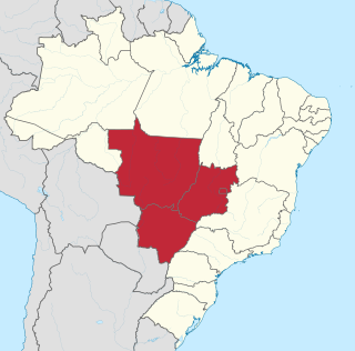
The Central-West or Center-West Region of Brazil is composed of the states of Goiás, Mato Grosso and Mato Grosso do Sul; along with Distrito Federal, where Brazil's national capital, Brasília, is situated. This Region is right in the heart of Brazil, representing 18.86% of the national territory.
The Nambikwara is an indigenous people of Brazil, living in the Amazon. Currently about 1,200 Nambikwara live in indigenous territories in the Brazilian state of Mato Grosso along the Guaporé and Juruena rivers. Their villages are accessible from the Pan-American highway.

Sinop is a city on the Brazilian state of Mato Grosso. The fourth-largest city in the state, its population in 2016 is estimated at more than 132,934 inhabitants, placing Sinop in 229th place in Brazil. It has an area of 3194.339 km ². A Sivam radar has been installed for monitoring the Amazon Basin. Also Embrapa has a branch in Sinop, the only one in the state of Mato Grosso. It is known as the Capital of Nortão, a major city of northern Mato Grosso.

Time in Brazil is calculated using standard time, and the country is divided into four standard time zones: UTC−02:00, UTC−03:00, UTC−04:00 and UTC−05:00.

Vila Bela da Santíssima Trindade is a Brazilian municipality in Mato Grosso with 14,523 (2009) inhabitants. It is located at upper Guaporé River close to the border with Bolivia. It served as the capital of the Captaincy of Mato Grosso from 1752 to 1820.

The Cuiabá River is a Brazilian river in the western state of Mato Grosso that flows in the Río de la Plata Basin. It is a tributary of the São Lourenço River.

The Taquari River is a river in the states of Mato Grosso and Mato Grosso do Sul in Brazil. It is a left tributary of the Paraguay River. The town of Coxim is situated on the Taquari.
The Azul River is a river of Mato Grosso state in western Brazil.
The Curuá River is a river of Mato Grosso state in western Brazil.
The Dos Patos River is a river of Mato Grosso state in western Brazil.
The Rio das Mortes is a river of Mato Grosso state in western Brazil. It has a length of 580 km.
The Sacre River is a river of Mato Grosso state in western Brazil.

The São Lourenço River is a tributary of the Paraguay River within the Pantanal, an alluvial plain that spans portions of Brazil, Bolivia and Paraguay. The São Lourenço river basin lies in the Mato Grosso state of Brazil.
The Tapirapé River is a river of Mato Grosso state in western Brazil.
Arara can refer to any of the following:

The Piquirí River is a river of Mato Grosso state in western Brazil. It is a tributary of the São Lourenço River.
References
| This article related to a river in Mato Grosso, Brazil is a stub. You can help Wikipedia by expanding it. |