This page is based on this
Wikipedia article Text is available under the
CC BY-SA 4.0 license; additional terms may apply.
Images, videos and audio are available under their respective licenses.

Mount Sanford is a shield volcano in the Wrangell Volcanic Field, in eastern Alaska near the Copper River. It is the sixth highest mountain in the United States and the third highest volcano behind Mount Bona and Mount Blackburn. The south face of the volcano, at the head of the Sanford Glacier, rises 8,000 feet (2,400 m) in 1 mile (1,600 m) resulting in one of the steepest gradients in North America.

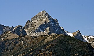
Buck Mountain 11,943 feet (3,640 m) is located in the Teton Range, Grand Teton National Park, Wyoming, immediately southeast of Grand Teton. The mountain is the highest summit south of Garnet Canyon and is easily seen from most vantage points in Jackson Hole. Views from the summit offer excellent views of the Cathedral Group to the north. The west slope of the summit tower are along the Alaska Basin Trail and extend into Caribou-Targhee National Forest and the Jedediah Smith Wilderness, which is the location of Alaska Basin, a popular wilderness camping area for backpackers. Timberline Lake is located on the eastern flanks of the peak.
In mountaineering in the United States, a thirteener is a mountain that exceeds 13,000 feet (3,962.4 m) above mean sea level, similar to the more familiar "fourteeners," which exceed 14,000 feet (4,267.2 m). In most instances, "thirteeners" refers only to those peaks between 13,000 and 13,999 feet in elevation.

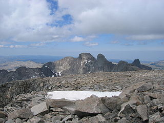
Black Tooth Mountain is located in the Bighorn Mountains in the U.S. state of Wyoming. The peak is the second highest in the range after Cloud Peak, which is only 1.5 miles (2.4 km) to the south, and the summit is located in the Cloud Peak Wilderness of Bighorn National Forest. The sharp dark profile of the mountain resembles a dark tooth or fang, hence the name. Because of the steep terrain, Black Tooth Mountain is one of the hardest mountains to climb in the Bighorns. Many of the trails up the mountain are unmarked which adds to the difficulty of reaching the summit. Mount Woolsey is an adjacent summit only .20 mi (0.32 km) to the southeast. Another high peak of the Bighorns known as Hallelujah Peak is situated along a knife-like ridge known as an arête .64 mi (1.03 km) to the northeast. Several tiny remnant glaciers can be found on the north slopes of Black Tooth Mountain.

Mount Woolsey is located in the Bighorn Mountains in the U.S. state of Wyoming. The peak is the third highest in the range after Cloud Peak, which is only 1.3 miles (2.1 km) to the south, and the summit is located in the Cloud Peak Wilderness of Bighorn National Forest. Black Tooth Mountain, the second highest mountain in the Bighorns, is an adjacent summit only .20 mi (0.32 km) to the northwest. Mount Woolsey is on a knife-like ridge known as an arête and is connected to both Black Tooth Mountain and Cloud Peak by this ridge. Along the arête is another mountain peak known as The Innominate. A small glacier lies below the arête to the southeast of Mount Woolsey.


