Dumaresq may refer to:
- Locations
- Armidale Dumaresq Shire, a former local government area in north-eastern New South Wales
- Dumaresq, New South Wales, an old stop on a New South Wales railway line
- Dumaresq Creek, running through Armidale in Armidale Dumaresq Shire
- Dumaresq Lake, a lake in Nova Scotia, Canada
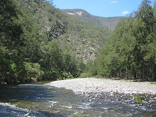
- Dumaresq River, an Australian river that forms part of the border between New South Wales and Queensland

The Armidale Dumaresq Council is a former local government area in the New England and Northern Tablelands regions of New South Wales, Australia. This area was formed in 2000 from the merger of the original City of Armidale with the surrounding Dumaresq Shire and abolished on 12 May 2016, where the council, together with Guyra Shire, was subsumed into the Armidale Regional Council with immediate effect.

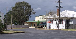
Dumaresq is a town in the Northern Tablelands, New South Wales, Australia. It is located approximately 20 km north-west of Armidale, on Boorolong Road. The local council is Armidale Regional Council, it once belonged to Dumaresq Shire, and then Armidale Dumaresq Shire. The town is located within Sandon County.
Dumaresq Lake is a lake of Cape Breton Regional Municipality, Nova Scotia, Canada.
- People
- Charles Édouard Armand-Dumaresq, a French painter
- Daniel Dumaresq, a Channel Islands-born Anglican priest, who served as an educational advisor to the Russian and Polish monarchies
- John Saumarez Dumaresq, Australian-born Royal Navy officer, and first Australian to command the Royal Australian Navy
- Michelle Dumaresq, a Canadian professional downhill mountain-biker

Charles Édouard Armand-Dumaresq was a French painter, primarily of religious and military subjects.
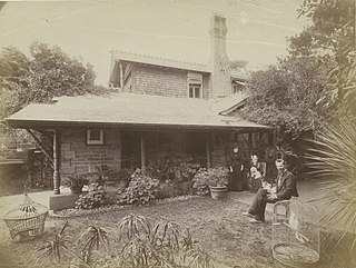
Daniel Dumaresq FRS (1712–1805) was an educational consultant to Russian and Polish monarchs.
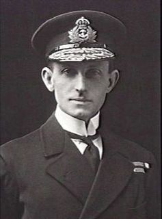
Rear Admiral John Saumarez Dumaresq was an officer in the Royal Navy. He served during the First World War but is most remembered as an inventor, for development of the device named after him, the Dumaresq, which helped users calculate the rate at which the range to an enemy ship was changing over time. He was the first Australian born officer to command the Australian Fleet.
- Technology
- Dumaresq, an analogue computer designed in 1902 to assist in warship gunnery
| This disambiguation page lists articles associated with the title Dumaresq. If an internal link led you here, you may wish to change the link to point directly to the intended article. |