This page is based on this
Wikipedia article Text is available under the
CC BY-SA 4.0 license; additional terms may apply.
Images, videos and audio are available under their respective licenses.

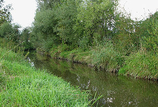
The Regnitz is a river in Franconia, Germany. It is a left tributary of the Main and is 63.7 km (39.6 mi) in length.

Wachenroth is a village in the district of Erlangen-Höchstadt, in Bavaria, Germany.
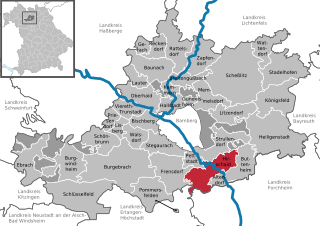
Hirschaid is a German market town in the Upper Franconian district of Bamberg and lies roughly twelve kilometres south of Bamberg on the Regnitz and the Main-Danube Canal.
Pettstadt is a community in the Upper Franconian district of Bamberg with about 1,900 inhabitants.

The Aisch is an 83 km long tributary of the Regnitz in Middle- and Upper Franconia, in the state of Bavaria in southern Germany. It passes through Bad Windsheim, Neustadt an der Aisch and Höchstadt, and flows into the Regnitz near Altendorf.

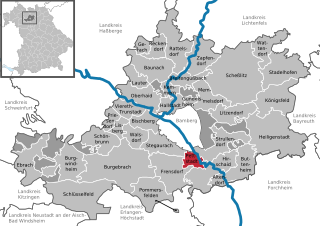
Erlach is a small village located in Bavaria, Germany. It is in Upper Franconia, in the Bamberg district. Erlach is a constituent community of Hirschaid.

The Dreifrankenstein is a boundary stone that marks the tripoint where the three Franconian provinces of Upper, Middle and Lower Franconia meet in southern Germany. As part of the regional reforms in 1972 the boundary marker was moved around 7 kilometres as the crow flies to the southeast. Today both points are marked by stones that are referred to as the Old and New Dreifrankenstein.

The Steigerwald is a hill region up to 498.5 m above sea level (NHN) in the Bavarian-Franconian part of the South German Scarplands between Würzburg and Nuremberg. It is part of the Keuper Uplands, and within it, it is continued to the north-northeast and right of the River Main, by the Haßberge, and to the south-southwest by the Franconian Heights. Part of the region is a designated as the Steigerwald Nature Park.

Wiesent is a river located in Bavaria, Germany. It is a right tributary of the river Regnitz. It is the main river of the Franconian Switzerland region, rising near the village Steinfeld. It flows through the towns Hollfeld, Muggendorf and Ebermannstadt, and joins the Regnitz in Forchheim.

Aurach is a river of Bavaria, Germany. It is a tributary of the river Regnitz.

Aurach is a river of Bavaria, Germany. It is a left tributary of the Regnitz in Upper Franconia.
Mittlere Ebrach is a river of Bavaria, Germany.
Schmerbach is a river of Bavaria, Germany. It is the right headstream of the Rauhe Ebrach.
Ebrach is a river of Bavaria, Germany.