The Inn is a river in Switzerland, Austria and Germany. The 518 km (322 mi) long river is a right tributary of the Danube, being the third largest tributary of the Danube by discharge. The highest point of its drainage basin is the summit of Piz Bernina at 4,049 m (13,284 ft). The Engadine, the valley of the En, is the only Swiss valley whose waters end up in the Black Sea.

Wachenroth is a municipality in the district of Erlangen-Höchstadt, in Bavaria, Germany.

The Amper, called the Ammer upstream of the Ammersee, through which it runs, is the largest tributary of the Isar in southern Bavaria, Germany. It flows generally north-eastward, reaching the Isar in Moosburg, about 185 kilometres (115 mi) from its source in the Ammergau Alps, with a flow of 45 m³/s. Including its tributary, Linder, it is 209.5 km (130.2 mi) long. Major tributaries are the Glonn, which rises near Augsburg; the Würm, which is the outflow of Lake Starnberg; and the Maisach.

Burgwindheim is a municipality with market rights in the west of the Upper Franconian district of Bamberg and a member of the administrative community (Verwaltungsgemeinschaft) of Ebrach.

Ebrach is a municipality with market rights in the Upper Franconian district of Bamberg and the seat of the Verwaltungsgemeinschaft of Ebrach.

Pettstadt is a community in the Upper Franconian district of Bamberg with about 1,900 inhabitants.

Heinrich Aigner was a German politician, representative of the Christian Social Union of Bavaria. He was born in Ebrach and died in Amberg.

Erlach is a small village located in Bavaria, Germany. It is in Upper Franconia, in the Bamberg district. Erlach is a constituent community of Hirschaid.

The Steigerwald is a hill region up to 498.5 m above sea level (NHN) in the Bavarian-Franconian part of the South German Scarplands between Würzburg and Nuremberg. It is part of the Keuper Uplands, and within it, it is continued to the north-northeast and right of the river Main, by the Haßberge, and to the south-southwest by the Franconian Heights. Part of the region is a designated as the Steigerwald Nature Park.

Ebrach is a river of Bavaria, Germany. It flows into the Attel near Ramerberg.

Aurach is a river in Bavaria, Germany. It is a tributary of the river Regnitz.

Aurach is a river in Bavaria, Germany. It is a left tributary of the Regnitz in Upper Franconia.

Rauhe Ebrach is a river of Bavaria, Germany. It flows into the Regnitz near Pettstadt.

Reiche Ebrach is a river of Bavaria, Germany. It flows into the Regnitz near Hirschaid.

Sempt is a river of Bavaria, Germany. It flows into the Mittlere-Isar-Kanal, which is connected with the Isar, west of Eching.
Ebrach is a community in the Upper Franconian district of Bamberg.
Schmerbach is a river in Bavaria, Germany. It is the right headstream of the Rauhe Ebrach.

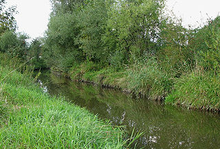
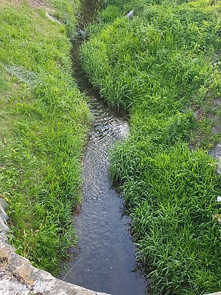
The Ebrach is a river of Bavaria, Germany.


