Taft Heights is a census-designated place (CDP) in Kern County, California, United States. Taft Heights is located 1 mile (1.6 km) west-southwest of Taft, at an elevation of 1,178 feet (359 m). The population was 1,949 at the 2010 census, up from 1,865 at the 2000 census.

Broadview is a village in Cook County, Illinois, 12 miles (19 km) west of downtown Chicago. As of the 2020 census it had a population of 7,998.

Wilsonville is a village in Macoupin County, Illinois, United States. The population was 536 at the 2020 census.

Valley Grove is a village in Ohio County, West Virginia, United States. It is part of the Wheeling, West Virginia Metropolitan Statistical Area. The population was 378 at the 2010 census. The village was named from a nearby recreational area at a grove in a valley.

Potaro-Siparuni is a region of Guyana. Venezuela claims the majority of the Region located west of the Essequibo River as part of Guayana Esequiba.
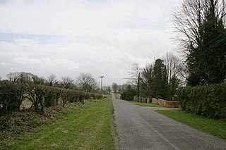
Penllergaer is a village and community in the City and County of Swansea, Wales, to the east of Gorseinon, within the electoral ward of the same name. It is situated about 4.5 miles north west of Swansea city centre, near junction 47 of the M4 motorway. The population of the community and ward was 2,868 in 2011.

Heanton Punchardon ( ) is a village, civil parish and former manor, anciently part of Braunton Hundred. It is situated directly east-southeast of the village of Braunton, in North Devon. The parish lies on the north bank of the estuary of the River Taw and it is surrounded, clockwise from the north, by the parishes of Braunton, Marwood, Ashford and across the estuary, Fremington. The population was 418 in 1801 and 404 in 1901. Its largest localities are Wrafton and Chivenor. The surrounding area is also an electoral ward with a total population at the 2011 census of 2,673.
Montgomery is a residential neighbourhood in the northwest quadrant of Calgary, Alberta. Its boundaries are Shaganappi Trail to the east, 32nd Avenue and Market Mall to the north, and the Bow River to the south and west. Immediately across the river to the west is the community of Bowness, itself a town until being annexed by Calgary in 1964.
Ḵwiḵwa̱sut'inux̱w Ha̱xwa'mis, formerly the Kwicksutaineuk-ah-kwa-mish First Nation is a First Nations band government based on northern Vancouver Island in British Columbia, Canada, in the Queen Charlotte Strait region. It is a member of the Musgamagw Tsawataineuk Tribal Council, along with the ‘Namgis First Nation and the Tsawataineuk First Nation. The Kwikwasut'inuxw and Haxwa'mis are two of the many subgroups of the peoples known as Kwakwaka'wakw, which has two meanings: "smoke of the world" or "beach at the north side of the river."

Brithdir is a small village in the northern part of the Rhymney Valley near New Tredegar, in the county borough of Caerphilly, south Wales, and within the historic boundaries of Glamorgan.

The A4050 road connects Barry, Vale of Glamorgan with Culverhouse Cross on the outskirts of Cardiff, Wales. It is approximately 10 miles (16 km) long, and is the key link road between the M4 motorway and Cardiff International Airport.

Hurstbourne railway station served the village of Hurstbourne Priors in Hampshire, England. It was on the London and South Western Railway's West of England Main Line and was also the junction for the Fullerton to Hurstbourne Line. Trains for the Fullerton line started and stopped at Whitchurch, the next station to the east on the main line.

The A433 road is an A road and primary route in Gloucestershire, England.

Rowner is a small settlement which forms part of the borough of Gosport, on the south coast of Hampshire, England.
2MASS J11145133−2618235, or 2M1114−26, or 2M1114−2618, or 2MASS 1114−26, or 2MASS J1114−2618) is a nearby brown dwarf of spectral class T7.5, located in constellation Hydra at approximately 18 light-years from Earth.
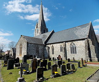
The Church of Saint Mary is a Grade I Listed Building in the town of Kidwelly, Carmarthenshire, Wales. The church was listed in December 1963. Founded c. 1114 the church was burnt down in 1223 and most of the existing building dates from c. 1320 when it was a Benedictine priory.