
The White Nile is a river in Africa, one of the two main tributaries of the Nile, the other being the Blue Nile. The name comes from the clay sediment carried in the water that changes the water to a pale color.

Mukono is one of the districts in the Central Region of Uganda. The town of Mukono is home to the district's main commercial center and district headquarters.

Apac District is a district in the Northern Region of Uganda. The Town of Apac hosts the district headquarters.

Lira District is a district in Northern Uganda. Like many other Ugandan districts, it is named after its 'chief town', Lira.
Pallisa District is a district in Eastern Uganda. Like most other Ugandan districts, it is named after its chief town, Pallisa, where the district headquarters are located.

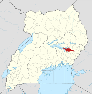
Lake Kwania is in the districts of Lira, Apac and Amolatar in the Northern Region of Uganda. It is part of a large wetland along the White Nile between Lake Victoria and Lake Albert. The wetland, which includes Lake Kwania, the even larger Lake Kyoga, and other water bodies and swamps, consists of about 3,420 square kilometres (1,320 sq mi) of open water and about 2,180 square kilometres (840 sq mi) of permanent swamps. Of this total, Lake Kwania accounts for 540 square kilometres (210 sq mi), about 16 percent, of the open water.
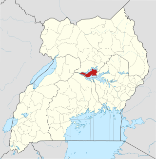
Amolatar District is a district in Northern Uganda. Like many other Ugandan districts, it is named after its main municipal and administrative centre, Amolatar Town.

The Sezibwa River is a river in Central Uganda, in East Africa. The name is derived from the Luganda phrase "sizibwa kkubo", which translates into "my path cannot be blocked".
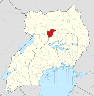
Oyam District is a district in Northern Uganda. Like most Ugandan districts, it is named after its 'chief town', Oyam, where the district headquarters are located.

Masindi Port is a town in the Western Region of Uganda. The name also applied to the sub-county, where the own sits and forms the sub-county headquarters.
Buikwe District is a district in the Central Region of Uganda. It is named after its 'chief town', Buikwe, where the district headquarters are located.

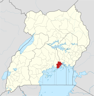
Buyende District is a district in Eastern Uganda. It is named after Buyende, the 'chief town' in the district and the location of the district headquarters.

Kole District is a district in Northern Uganda. Like most other Ugandan districts, it is named after its 'chief town', Kole, where the district headquarters are located.
Galilaya is a town in the Kayunga District of the Central Region of Uganda. The town is also known by its correct phonetic spelling, as Galiraya.
Namasagali College is a mixed boarding middle and high school located in Kamuli District in Eastern Uganda.
River Lwajjali is a river in Uganda, in East Africa.

Lubigi is a swampy wetland on the northern and western outskirts of Kampala, the capital and largest city of Uganda.
The Baruuli or Baluuli, are a Bantu ethnic group native to Bunyoro-Kitara, a subnational kingdom within Uganda. They stay in an area called Buruuli. They share a common ancestry with the Banyala.
Kayunga–Galiraya Road is a road in the Central Region of Uganda connecting the town of Kayunga to the towns of Bbaale and Galilaya (Galiraya) on the shores of Lake Kyoga.
Bukungu is a town in the Buyende District of the Eastern Region of Uganda.

 Amolatar Monument seen from West aka Uganda Tribes Monument
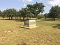 Amolatar Monument seen from North-west
 Amolatar Monument seen from North
 Amolatar Monument seen from South
 Amolatar Monument seen from East


