Gordon/Barrie Island | |
|---|---|
| Municipality of Gordon/Barrie Island | |
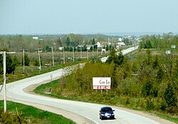 Highway 540 through Gordon | |
 Gordon/Barrie Island  Gordon/Barrie Island | |
| Coordinates: 45°54′N82°38′W / 45.900°N 82.633°W | |
| Country | Canada |
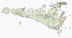
| Province | Ontario |
| District | Manitoulin |
| Formed | January 1, 2009 |
| Government | |
| • Type | Township |
| • Reeve | Lee Hayden |
| • Federal riding | Sudbury East—Manitoulin—Nickel Belt |
| • Prov. riding | Algoma—Manitoulin |
| Area | |
| • Land | 263.44 km2 (101.71 sq mi) |
| Population (2021) [1] | |
• Total | 613 |
| • Density | 2.3/km2 (6/sq mi) |
| Time zone | UTC-5 (EST) |
| • Summer (DST) | UTC-4 (EDT) |
| Postal Code | P0P |
| Area code | 705 |
| Website | www |
The Municipality of Gordon/Barrie Island is a township in Manitoulin District in north central Ontario, Canada. It was formed on January 1, 2009, upon the amalgamation of the townships of Gordon (incorporated 1875 [2] ) and Barrie Island. [3]
Contents
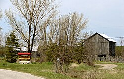
The township consists of the communities of Advance, Foxey, Ice Lake, Tobacco Lake, and Barrie Island. Gordon/Barrie Island also contains three lakes: Nameless Lake, Tobacco Lake, and Ice Lake.