
Interstate 5 (I-5) is the main north–south Interstate Highway on the West Coast of the United States, running largely parallel to the Pacific coast of the contiguous U.S. from Mexico to Canada. It travels through the states of California, Oregon, and Washington, serving several large cities on the West Coast, including San Diego, Los Angeles, Sacramento, Portland, and Seattle. It is the only continuous Interstate highway to touch both the Mexican and Canadian borders. Upon crossing the Mexican border at its southern terminus, the highway continues to Tijuana, Baja California, as Mexican Federal Highway 1 (Fed. 1). Upon crossing the Canadian border at its northern terminus, it continues to Vancouver as British Columbia Highway 99 (BC 99).

Northern California is a geographic and cultural region that comprises the northern portion of the U.S. state of California, spanning the northernmost 48 of the state's 58 counties. Northern California in its largest definition is determined by dividing the state into two regions, the other being Southern California. The main northern population centers include the San Francisco Bay Area, the Greater Sacramento area, the Redding, California, area south of the Cascade Range, and the Metropolitan Fresno area. Northern California also contains redwood forests, along with most of the Sierra Nevada, including Yosemite Valley and part of Lake Tahoe, Mount Shasta, and most of the Central Valley, one of the world's most productive agricultural regions. Northern California is also home to Silicon Valley, the global headquarters for some of the most powerful tech and Internet-related companies in the world, including Meta, Apple, Google, and Nvidia.

U.S. Route 99 (US 99) was a main north–south United States Numbered Highway on the West Coast of the United States until 1964, running from Calexico, California, on the Mexican border to Blaine, Washington, on the Canadian border. It was assigned in 1926 and existed until it was replaced for the most part by Interstate 5. Known also as the "Golden State Highway" and "The Main Street of California", US 99 was important throughout much of the 1930s as a route for Dust Bowl immigrant farm workers to traverse the state. Large portions are now California State Route 99 (SR 99), Oregon's Routes 99, 99W, and 99E, and Washington's SR 99. The highway in Washington connected to British Columbia Highway 99, whose number was derived from that of US 99, at the Canada–US border.

State Route 99 (SR 99) is a major north–south state highway in the U.S. state of California, stretching almost the entire length of the Central Valley. From its southern end at Interstate 5 (I-5) near Wheeler Ridge to its northern end at SR 36 near Red Bluff, SR 99 goes through the densely populated eastern parts of the valley. Cities served include Bakersfield, Delano, Tulare, Visalia, Fresno, Madera, Merced, Turlock, Modesto, Manteca, Stockton, Sacramento, Yuba City, and Chico.

Oregon Route 99E Business is a business route through Salem, Oregon for Oregon Route 99E, which bypasses downtown via Interstate 5 (I-5). A portion of this highway was originally planned to be a freeway, signed as Interstate 305; however the proposed freeway was cancelled after community opposition.
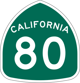
Three highways in the U.S. state of California have been signed as Route 80:

Interstate 80 Business, called the Capital City Freeway in its entirety and also known as Business 80, is a business loop of Interstate 80 (I-80) through Sacramento, California, United States. The route is also colloquially referred to as "Cap City Freeway" and "Biz 80". The entire route is a freeway.

The Siskiyou Trail stretched from California's Central Valley to the Columbia River in Washington State; modern-day Interstate 5 follows this pioneer path. Originally based on existing Native American foot trails winding their way through river valleys, the Siskiyou Trail provided the shortest practical travel path between early settlements in California and Oregon.

State Route 103 is a state highway in the U.S. state of California that forms part of the Terminal Island Freeway in Los Angeles and Long Beach. It runs from State Route 47 near Terminal Island north to State Route 1 in Long Beach. At the south end of SR 103, the Terminal Island Freeway runs south with SR 47 over the Commodore Schuyler F. Heim Bridge to its end at Ocean Boulevard on Terminal Island, at the former Long Beach Naval Shipyard. SR 47 then turns west there to its end at Interstate 110.
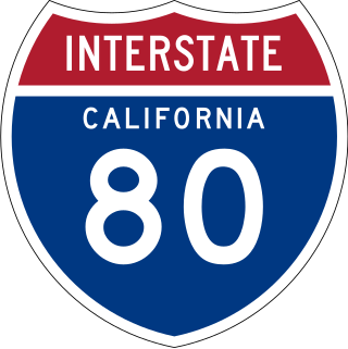
Interstate 80 (I-80) is a transcontinental Interstate Highway in the United States, stretching from San Francisco, California, to Teaneck, New Jersey. The segment of I-80 in California runs east from San Francisco across the San Francisco–Oakland Bay Bridge to Oakland, where it turns north and crosses the Carquinez Bridge before turning back northeast through the Sacramento Valley. I-80 then traverses the Sierra Nevada, cresting at Donner Summit, before crossing into the state of Nevada within the Truckee River Canyon. The speed limit is at most 65 mph (105 km/h) along the entire route instead of the state's maximum of 70 mph (110 km/h) as most of the route is in either urban areas or mountainous terrain. I-80 has portions designated as the Eastshore Freeway and Alan S. Hart Freeway.

U.S. Route 50 (US 50) is a transcontinental United States Numbered Highway, stretching from West Sacramento, California, in the west to Ocean City, Maryland, in the east. The California portion of US 50 runs east from Interstate 80 (I-80) in West Sacramento to the Nevada state line in South Lake Tahoe. A portion in Sacramento also has the unsigned designation of Interstate 305. The western half of the highway in California is a four-or-more-lane divided highway, mostly built to freeway standards, and known as the El Dorado Freeway outside of downtown Sacramento. US 50 continues as an undivided highway with one eastbound lane and two westbound lanes until the route reaches the canyon of the South Fork American River at Riverton. The remainder of the highway, which climbs along and out of the canyon, then over the Sierra Nevada at Echo Summit and into the Lake Tahoe Basin, is primarily a two-lane road.

Interstate 5 (I-5) is a major north–south route of the Interstate Highway System in the United States, running largely parallel to the Pacific Coast between the Mexican border and the Canadian border. The segment of I-5 in California runs across the length of the state from the Mexican border at the San Ysidro Port of Entry in the San Ysidro neighborhood of San Diego to the Oregon state line south of the Medford-Ashland metropolitan area. It is the longest interstate in California at 796.77 miles (1,282.28 km), and accounts for more than half of I-5's total length of 1,381.29 miles (2,222.97 km). It is also the second longest stretch of Interstate Highway with a single designation within a single state after I-10 in Texas.
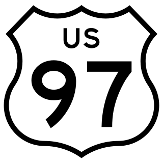
U.S. Route 97 (US 97) is a United States Numbered Highway, stretching from Weed, California to the Canadian border in Oroville, Washington. The California portion of US 97 runs north from I-5 in Weed to the Oregon state line. This is the majority of a shortcut between I-5 and Klamath Falls, Oregon, added to both states' state highway systems in 1931. It was designated US 97 in 1935, replacing an east–west section in southern Oregon.

Interstate 80 Business may refer to several business routes of the Interstate Highway System that connects Interstate 80 with the central business district of various cities bypassed by I-80. The business route in each community is considered a unique route. In many cases, these routes are a former section of a U.S. Route or state highway.

Business routes of Interstate 5 (I-5) exist in both California and Washington. There are no business routes in Oregon as that state does not assign such designations for any of its Interstate Highways. However, Oregon Route 99 (OR 99) essentially acts as a business route for most of Oregon, along with OR 99W and OR 99E, which also has its own business route in Salem.
There are 21 routes assigned to the "E" zone of the California Route Marker Program, which designates county routes in California. The "E" zone includes county highways in Alpine, Amador, Butte, Calaveras, El Dorado, Placer, Plumas, Sacramento, Solano, Tuolumne, Yolo, and Yuba counties.