
Interstate 40 (I-40) is a major east–west Interstate Highway running through the south-central portion of the United States. At a length of 2,556.61 miles (4,114.46 km), it is the third-longest Interstate Highway in the country, after I-90 and I-80. From west to east, it passes through California, Arizona, New Mexico, Texas, Oklahoma, Arkansas, Tennessee, and North Carolina. Its western end is at I-15 in Barstow, California, while its eastern end is at a concurrency of U.S. Route 117 (US 117) and North Carolina Highway 132 (NC 132) in Wilmington, North Carolina. Major cities served by the interstate include Flagstaff, Arizona; Albuquerque, New Mexico; Amarillo, Texas; Oklahoma City, Oklahoma; Little Rock, Arkansas; Memphis, Nashville, and Knoxville in Tennessee; and Asheville, Winston-Salem, Greensboro, Durham, Raleigh, and Wilmington in North Carolina.
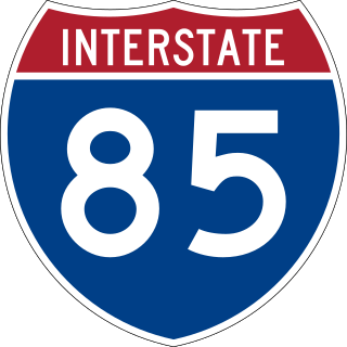
Interstate 85 (I-85) is a major Interstate Highway in the Southeastern United States. Its southern terminus is at an interchange with I-65 in Montgomery, Alabama; its northern terminus is an interchange with I-95 in Petersburg, Virginia, near Richmond. It is nominally north–south as it carries an odd number, but it is physically oriented northeast–southwest and covers a larger east-west span than north-south. While most Interstates that end in a "5" are cross-country, I-85 is primarily a regional route serving five southeastern states: Virginia, North Carolina, South Carolina, Georgia, and Alabama. Major metropolitan areas served by I-85 include the Greater Richmond Region in Virginia, the Research Triangle, Piedmont Triad, and Charlotte metropolitan area regions of North Carolina, Upstate South Carolina, the Atlanta metropolitan area in Georgia, and the Montgomery metropolitan area in Alabama. There are plans to extend I-85 along the US Route 80 (US 80) corridor into Mississippi. Because of its diagonal nature, portions of I-85 are to the west of I-75, which puts I-85 out of the Interstate grid.
U.S. Route 311 is a United States highway that runs for 62 mi (100 km) from Winston-Salem, North Carolina to near Danville, Virginia. It connects the cities of Winston-Salem, Madison, and Eden. The route runs northeast from Winston-Salem to Danville. By the numbering convention, it is an auxiliary route of US 11, however except for a brief period shortly after the route was established, it has not connected to its parent route.
Interstate 140 (I-140) and North Carolina Highway 140 (NC 140) is a 25.4-mile (40.9 km) auxiliary Interstate Highway and state highway in the U.S. state of North Carolina. Officially designated the John Jay Burney Jr. Freeway, it serves as a bypass of Wilmington. The western terminus of the highway is at U.S. Route 17 (US 17) near Winnabow. It heads north in western Leland before turning to the east north of an interchange with U.S. Route 74 (US 74)/U.S. Route 76 (US 76). I-140 crosses the Cape Fear River north of Navassa and the Northeast Cape Fear River northwest of Wrightsboro. I-140 ends at Interstate 40 (I-40), and the route number changes to NC 140. NC 140 continues to the east, ending at US 17 in Kirkland.
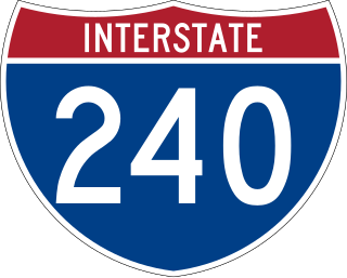
Interstate 240 (I-240) is a 9.1-mile-long (14.6 km) Interstate Highway loop in the US state of North Carolina. It serves as an urban connector for Asheville and runs in a semicircle around the north of the city's downtown district between exits 53B and 46B of I-40. Between those points, I-40 continues in an east–west direction further south of the city, roughly parallel to the Swannanoa and French Broad rivers. The western segment of I-240 is now being cosigned with I-26 as part of a larger project extending I-26 from its former western terminus at I-40/I-240 to U.S. Highway 23 (US 23) near Kingsport, Tennessee.

Interstate 85 Business in the US state of North Carolina is a 29.8-mile-long (48.0 km) business loop of Interstate 85 (I-85) which serves several cities in the Piedmont Triad.
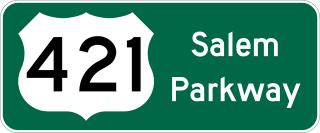
The Salem Parkway is an 18.5-mile-long (29.8 km) freeway in the U.S. state of North Carolina, serving the cities of Winston-Salem and Kernersville. It is signed as U.S. Route 421 (US 421) for its entire length, though it is also concurrent with US 158 in downtown Winston-Salem and North Carolina Highway 150 (NC 150) between Winston-Salem and Kernersville. Originally known as the East–West Expressway, it was designated as part of Interstate 40 (I-40) and opened in 1958, becoming the first section of Interstate Highway in the state. I-40 was rerouted onto a new alignment bypassing Winston-Salem and Kernersville in 1992, at which time the road was designated Interstate 40 Business, nicknamed Business 40.
Malfunction Junction is a common nickname for a number of highway interchanges, especially ones that are poorly designed, dangerous, and/or suffer from severe traffic congestion:
Interstate 85 Business or Business Interstate 85 may refer to:

Interstate 95 (I-95) is a part of the Interstate Highway System that runs along the East Coast of the United States from Miami, Florida, to the Canadian border in Houlton, Maine. In the state of North Carolina, the route runs for 181.71 miles (292.43 km) from the South Carolina border near Rowland, North Carolina, to the Virginia border near Pleasant Hill, North Carolina. The highway serves the cities of Lumberton, Fayetteville, Wilson, Rocky Mount and Roanoke Rapids. The route goes through a mostly rural area of the state, avoiding most of the major metro areas of North Carolina. It forms the informal border between the Piedmont and Coastal Plain regions of the state. There are two auxiliary routes for I-95 in the state: I-295, a partially completed bypass of Fayetteville and I-795, a spur route connecting I-95 to the city of Goldsboro.
Interstate 40 (I-40) is a part of the Interstate Highway System that travels 2,556.61 miles (4,114.46 km) from Barstow, California, to Wilmington, North Carolina. In North Carolina, I-40 travels 420.21 miles (676.26 km) across the entirety of the state from the Tennessee state line along the Pigeon River Gorge to U.S. Route 117 (US 117) and North Carolina Highway 132 (NC 132) in Wilmington. I-40 is the longest Interstate Highway in North Carolina and is the only Interstate to completely span the state from west to east.

Interstate 95 Business is a business loop of Interstate 95 entirely within Cumberland County, North Carolina. It runs from nearby Hope Mills to Eastover, passing through the eastern side of downtown Fayetteville.
Interstate 95 Business or Business Interstate 95 may refer to:
Interstate 85 (I-85) is an Interstate Highway that runs from Montgomery, Alabama, to Richmond, Virginia. In North Carolina, I-85 travels 231.23 miles (372.13 km) from the South Carolina state line near Grover, North Carolina, to the Virginia state line near Wise. Despite being signed north–south, I-85 physically travels in a southwest–northeast direction across the state. The Interstate Highway connects the three most populous metropolitan areas of North Carolina: the Charlotte metropolitan area, Piedmont Triad, and Research Triangle, as well as nine of the 20 largest municipalities in the state. Outside of North Carolina, I-85 connects the state with Richmond, Virginia, to the north and Upstate South Carolina and Atlanta, Georgia, to the south. I-85 parallels several US Highways including US Highway 29 (US 29) between South Carolina and Greensboro, US 70 between Greensboro and Durham, US 15 between Durham and Oxford, and US 1 between Henderson and Virginia.
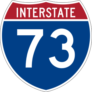
Interstate 73 (I-73) is a partially completed Interstate Highway in the US state of North Carolina, traversing the state from south of Ellerbe to near Summerfield through Asheboro and Greensboro. When completed, it will continue south toward Myrtle Beach, South Carolina, and north to Martinsville, Virginia.
Interstate 685 may refer to:
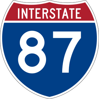
Interstate 87 (I-87) is a partially completed Interstate Highway in the US state of North Carolina, the shortest designated primary Interstate Highway at 12.9 miles (20.8 km). The completed portion is in eastern Wake County, between Raleigh and Wendell; the majority of the completed route is known as the Knightdale Bypass, while the remaining three miles (4.8 km) follows the Raleigh Beltline (I-440). It is planned to continue northeast through Rocky Mount, Williamston, and Elizabeth City, ending in Norfolk, Virginia. It is signed as north–south, in keeping with the sign convention for most odd-numbered interstates, but the route goes primarily east–west, with the eastern direction aligning to the north designation. The entire route is concurrent with US Highway 64 (US 64), with portions also concurrent with I-440 and US 264.