
The Nile is a major north-flowing river in northeastern Africa. It flows into the Mediterranean Sea. The Nile is the longest river in Africa. It has historically been considered the longest river in the world, though this has been contested by research suggesting that the Amazon River is slightly longer. Of the world's major rivers, the Nile is one of the smallest, as measured by annual flow in cubic metres of water. About 6,650 km (4,130 mi) long, its drainage basin covers eleven countries: the Democratic Republic of the Congo, Tanzania, Burundi, Rwanda, Uganda, Kenya, Ethiopia, Eritrea, South Sudan, Sudan, and Egypt. In particular, the Nile is the primary water source of Egypt, Sudan and South Sudan. In these countries it is an important economic factor in agriculture and fishing.
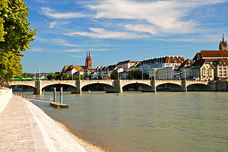
The Rhine is one of the major European rivers. The river begins in the Swiss canton of Graubünden in the southeastern Swiss Alps. It forms part of the Swiss-Liechtenstein border, then part of the Swiss-Austrian border. From Lake Constance downstream, it forms part of the Swiss-German border. After that the Rhine defines much of the Franco-German border. It then flows in a mostly northerly direction through the German Rhineland. Finally in Germany, the Rhine turns into a predominantly westerly direction and flows into the Netherlands where it eventually empties into the North Sea. It drains an area of 9,973 km2.
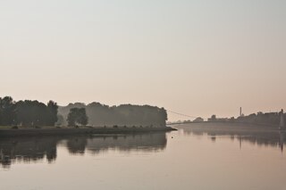
The Drava or Drave, historically known as the Dravis or Dravus, is a river in southern Central Europe. With a length of 710km, or 724km, if the length of its Sextner Bach source is added, it is the fifth or sixth longest tributary of the Danube, after the Tisza, Sava, Prut, Mureș and likely Siret. The Drava drains an area of about 40,154 square kilometers. Its mean annual discharge is seasonally 500m³/s to 670m³/s. Its source is near the market town of Innichen, in the Puster Valley of South Tyrol, Italy. The river flows eastwards through East Tyrol and Carinthia in Austria into the Styria region of Slovenia. It then turns southeast, passing through northern Croatia and, after merging with its main tributary the Mur, forms most of the border between Croatia and Hungary, before it joins the Danube near Osijek, in Croatia.

The White Nile is a river in Africa, the minor of the two main tributaries of the Nile, the larger being the Blue Nile. The name "White" comes from the clay sediment carried in the water that changes the water to a pale color.

The Volturno is a river in south-central Italy.
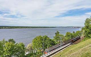
The Kama, also known as the Chulman, is a 1,805-kilometre (1,122 mi) long river in Russia. It has a drainage basin of 507,000 square kilometres (196,000 sq mi). It is the longest left tributary of the Volga and the largest one in discharge. At their confluence, in fact, the Kama is even larger in terms of discharge than the Volga.

Maritsa or Maritza, also known as Evros and Meriç, is a river that runs through the Balkans in Southeast Europe. With a length of 480 km (300 mi), it is the longest river that runs solely in the interior of the Balkan peninsula, and one of the largest in Europe by discharge. It flows through Bulgaria in its upper and middle reaches, while its lower course forms much of the border between Greece and Turkey. Its drainage area is about 53,000 km2 (20,000 sq mi), of which 66.2% is in Bulgaria, 27.5% in Turkey, and 6.3% in Greece. It is the main river of the historical region of Thrace, most of which lies in its drainage basin.
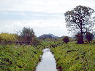
The River Gowy is a river in Cheshire, England, a tributary of the River Mersey.

The River Clun runs mostly through Shropshire, England and joins the River Teme at Leintwardine, Herefordshire. The Clun Valley is part of the Shropshire Hills AONB.
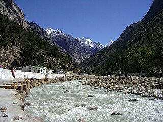
The Bhāgīrathī is a turbulent Himalayan river in the Indian state of Uttarakhand, and one of the two headstreams of the Ganges, the major river of Northern India and the holy river of Hinduism. In the Hindu faith, history, and culture, the Bhagirathi is considered the source stream of the Ganges. However, in hydrology, the other headstream Alaknanda, is considered the source stream on account of its great length and discharge. The Bhagirathi and Alaknanda join at Devprayag in Garhwal and are thereafter known as the Ganges.

The Sutlej River is a major river in Asia, flowing through China, India and Pakistan, and is the longest of the five major rivers of the Punjab region. It is also known as Satadru; and is the easternmost tributary of the Indus River. The combination of the Sutlej and Chenab rivers in the plains of Punjab forms the Panjnad, which finally flows into the Indus River at Mithankot.

Penna is a river of southern India. After originating from Nandi hills, it flows as two different streams, one in North and South directions. The Penna rises in the Nandi Hills in Chikkaballapur District of Karnataka state, and runs north and east through the states of Karnataka and Andhra Pradesh to empty into bay of bengal in Andhra Pradesh. It is 597 kilometres (371 mi) long, with a drainage basin covering 55,213 km2: 6,937 km2 in Karnataka and 48,276 km2 in Andhra Pradesh. Along with this main stream there is another stream south towards Tamilnadu with the name Then Pennai or south Pennar which further moves towards the east to empty into the Bay of Bengal. The Penna river basin lies in the rain shadow region of Eastern Ghats and receives 500 mm average rainfall annually.
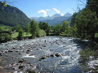
The Thur is a 135-kilometre-long (84 mi) river in north-eastern Switzerland and a tributary of the High Rhine.

The Buzău river in eastern Romania is a tributary of the river Siret. Its total length is 302 km, and its drainage basin area is 5,264 km2. Its source is in the south-eastern Carpathian Mountains, east of Brașov. The Buzău flows through the Romanian counties Brașov, Covasna, Buzău and Brăila. It flows into the Siret in Voinești, close to its confluence with the Danube, west of Galați.

In geography, a confluence occurs where two or more watercourses join to form a single channel. A confluence can occur in several configurations: at the point where a tributary joins a larger river ; or where two streams meet to become the source of a river of a new name ; or where two separated channels of a river rejoin at the downstream end. The point of confluence where the channel flows into a larger body of water may be called the river mouth.
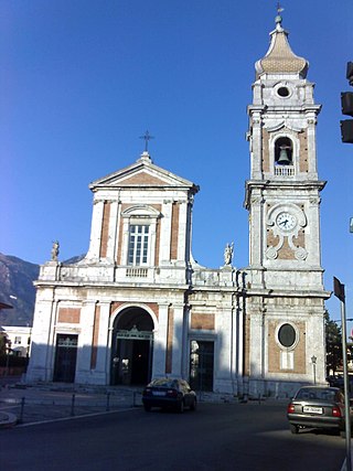
Airola is a comune (municipality) in the Province of Benevento in the Italian region Campania, located about 35 km northeast of Naples and about 20 km southwest of Benevento in the Valle Caudina, facing the Monte Taburno. Nearby is the confluence of the Tesa and Faenza streams into the Isclero River. Airola's territory is also crossed by the Acquedotto Carolino, carrying waters to the Caserta Palace.

The Zanskar River is the first major tributary of the Indus River, equal or greater in volume than the main river, which flows entirely within Ladakh, India. It originates northeast of the Great Himalayan range and drains both the Himalayas and the Zanskar Range within the region of Zanskar. It flows northeast to join the Indus River near Nimo.

The River Chelmer flows entirely through the county of Essex, England; it runs 40 miles (64 km) from the north-west of the county through Chelmsford to the River Blackwater, near Maldon.
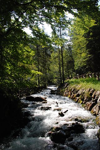
A stream is a continuous body of surface water flowing within the bed and banks of a channel. Depending on its location or certain characteristics, a stream may be referred to by a variety of local or regional names. Long, large streams are usually called rivers, while smaller, less voluminous and more intermittent streams are known as streamlets, brooks or creeks.
The River Sem is a natural waterway that flows through the ceremonial county of Wiltshire in England. It flows approximately 4+1⁄4 miles (7 km) from its source near East Knoyle to join the River Nadder near Wardour.


