Related Research Articles

A borough is an administrative division in various English-speaking countries. In principle, the term borough designates a self-governing walled town, although in practice, official use of the term varies widely.
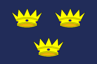
Munster is one of the four provinces of Ireland, in the south of Ireland. In early Ireland, the Kingdom of Munster was one of the kingdoms of Gaelic Ireland ruled by a "king of over-kings". Following the Norman invasion of Ireland, the ancient kingdoms were shired into counties for administrative and judicial purposes. In later centuries, local government legislation has seen further sub-division of the historic counties.
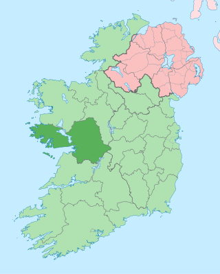
County Galway is a county in Ireland. It is in the Northern and Western Region, taking up the south of the province of Connacht. The county population was 276,451 at the 2022 census.
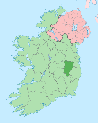
County Kildare is a county in Ireland. It is in the province of Leinster and is part of the Eastern and Midland Region. It is named after the town of Kildare. Kildare County Council is the local authority for the county, which had a population of 246,977 at the 2022 census.
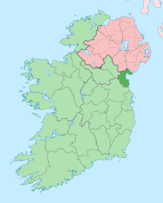
County Louth is a coastal county in the Eastern and Midland Region of Ireland, within the province of Leinster. Louth is bordered by the counties of Meath to the south, Monaghan to the west, Armagh to the north and Down to the north-east, across Carlingford Lough. It is the smallest county in Ireland by land area and the 17th most populous, with just over 139,100 residents as of 2022. The county is named after the village of Louth. Louth County Council is the local authority for the county.
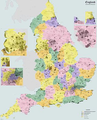
Rural districts were a type of local government area – now superseded – established at the end of the 19th century in England, Wales, and Ireland for the administration of predominantly rural areas at a level lower than that of the administrative counties.

The Greater Dublin Area, or simply Greater Dublin, is an informal term that is taken to include the city of Dublin and its hinterland, with varying definitions as to its extent. At the expansive end, it has been defined as including all of the traditional County Dublin and three neighbouring counties, while more commonly it is taken as the contiguous metropolitan area of Dublin plus suburban and commuter towns. The area is defined for strategic planning, and, for example, transport, and it is not a formal administrative or political unit.
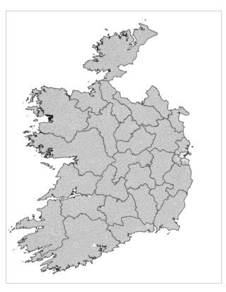
An electoral division is a legally defined administrative area in the Republic of Ireland, generally comprising multiple townlands, and formerly a subdivision of urban and rural districts. Until 1996, EDs were known as district electoral divisions in the 29 county council areas and wards in the five county boroughs. Until 1972, DEDs also existed in Northern Ireland. The predecessor poor law electoral divisions were introduced throughout the island of Ireland in the 1830s. The divisions were used as local-government electoral areas until 1919 in what is now the Republic and until 1972 in Northern Ireland.

The Borough of Dún Laoghaire was a borough on the southern coast of County Dublin, Ireland from 1930 to 1994. Its local authority was the Corporation of Dún Laoghaire.

In geography, statistics and archaeology, a settlement, locality or populated place is a community of people living in a particular place. The complexity of a settlement can range from a minuscule number of dwellings grouped together to the largest of cities with surrounding urbanized areas. Settlements may include hamlets, villages, towns and cities. A settlement may have known historical properties such as the date or era in which it was first settled, or first settled by particular people. The process of settlement envolves human migration
The Belfast metropolitan area, also known as Greater Belfast, is a grouping of council areas which include commuter towns and overspill from Belfast, Northern Ireland, with a population of 672,522 in 2011, combining the Belfast, Lisburn, Newtownabbey, North Down, Castlereagh and Carrickfergus districts. This equates to 37.1% of Northern Ireland's population.

Ardnacrusha is a village in County Clare, Munster, Ireland, located on the northern bank of the River Shannon. By road, it is 6.6 kilometres (4.1 mi) north of Limerick. The name derives from the phrase Ard na Croise meaning "the height of the cross", due to a large cross marker placed there in 1111 to mark the boundary of the Diocese of Limerick.