Luve | |
|---|---|
Village | |
 | |
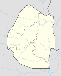 Luve Location in Eswatini (Swaziland) | |
| Coordinates: 26°19′16″S31°28′31″E / 26.32111°S 31.47528°E |
Luve is a town in central Eswatini (Swaziland). It is located on the MR5 route between Mpisi and Mliba, 25 kilometres northeast of Manzini.