Irishtown or Irish Town may refer to the following places:
North Westmeath was a UK Parliament constituency in Ireland, returning one Member of Parliament 1885–1918.
Kilpatrick is an Irish surname, possibly a branch of the Cenél nEógain of the Northern Uí Néill.
Andrew Sylvester Clarkin was an Irish Fianna Fáil politician.

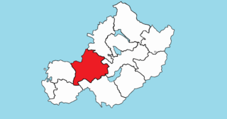
Moyashel and Magheradernon is a barony in the centre of County Westmeath, in the Republic of Ireland, formed by 1672. It is bordered by eight other baronies: Corkaree and Fore, Delvin and Farbill, Fartullagh and Moycashel and Rathconrath and Moygoish. .
Rathconrath, previously the barony of Rathcomyrta, before that Daltons country, is a barony in the west of County Westmeath, in the Republic of Ireland. It was formed by 1542. It is bordered by County Longford to the north–west and five other Westmeath baronies: Moygoish to the north, Moyashel and Magheradernon to the east, Moycashel and Clonlonan to the south and Kilkenny West to the west. Note that the village of Rathconrath is not synonymous with the barony of the same name.
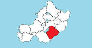
Fartullagh, previously Tyrrells country, is a barony in south–east County Westmeath, in the Republic of Ireland. It was formed by 1542. It is bordered by County Offaly to the south and three other baronies: Moycashel, Moyashel and Magheradernon and Farbill.

Farbill is a barony in east County Westmeath, in the Republic of Ireland. It was formed by 1672. It is bordered by County Meath to the south and east and three other baronies: Fartullagh, Moyashel and Magheradernon and Delvin. The largest centre of population in the barony is the town of Kinnegad.

Portnashangan is a civil parish in County Westmeath, Ireland. It is located about 7 kilometres (4 mi) north-north–west of Mullingar on both sides of Lough Owel.
Rathconnell is a civil parish in County Westmeath, Ireland. It is located about 8.6 kilometres (5 mi) north–east of Mullingar on the N52 road.

Dysart is a civil parish in County Westmeath, Ireland. It is located about 8.5 kilometres (5 mi) south‑west of Mullingar.
Mullingar is a civil parish in County Westmeath, Ireland. It includes Mullingar the county town of Westmeath, as well as the eponymous townland. Mullingar parish is located about 75 kilometres (47 mi) west of Dublin on the N4 road and the N52 road which meet east of Mullingar town. It is served by Mullingar railway station on the Dublin to Sligo line. The Royal Canal also passes through the parish and the town.
Street is a civil parish in County Westmeath, Ireland. It is located about 19.39 kilometres (12 mi) north–north–west of Mullingar.
Killucan is a civil parish in County Westmeath, Ireland. It is located about 13.68 kilometres (9 mi) east of Mullingar.

Lynn is a civil parish in County Westmeath, Ireland. It is located about 4.31 kilometres (3 mi) south–south–east of Mullingar.
Castlelost is a civil parish in County Westmeath, Ireland. It is located about 12.81 kilometres (8 mi) south of Mullingar.
Churchtown is a civil parish in County Westmeath, Ireland. It is located about 11.13 kilometres (7 mi) west–south–west of Mullingar.

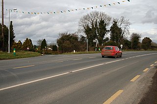
Rathconrath is a civil parish in County Westmeath, Ireland. It is located about 13.93 kilometres (9 mi) west of Mullingar on the R392 road and the Royal Canal.

Dysart is a village in County Westmeath, Ireland. It is located on the R391 road, to the west of Mullingar. Lough Ennell is located to the east.
This page is based on this
Wikipedia article Text is available under the
CC BY-SA 4.0 license; additional terms may apply.
Images, videos and audio are available under their respective licenses.