Ottawa/Gatineau Water Aerodrome | |||||||||||
|---|---|---|---|---|---|---|---|---|---|---|---|
| Summary | |||||||||||
| Airport type | Public | ||||||||||
| Operator | Daniel Bérard | ||||||||||
| Location | Gatineau, Quebec | ||||||||||
| Time zone | EST (UTC−05:00) | ||||||||||
| • Summer (DST) | EDT (UTC−04:00) | ||||||||||
| Elevation AMSL | 125 ft / 38 m | ||||||||||
| Coordinates | 45°27′52″N075°40′48″W / 45.46444°N 75.68000°W Coordinates: 45°27′52″N075°40′48″W / 45.46444°N 75.68000°W | ||||||||||
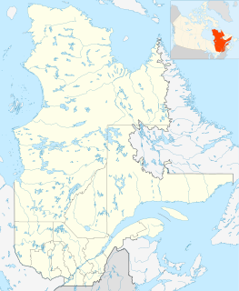
| Map | |||||||||||
| Runways | |||||||||||
| |||||||||||
Source: Water Aerodrome Supplement [1] | |||||||||||
Ottawa/Gatineau Water Aerodrome, formerly TC LID : CTI3, was on the north side of the Ottawa River in Quebec, Canada.


