High Hill, at 323 feet above sea level, is considered to be the third highest elevation in the state of Florida, USA. It is close to Oak Hill (331 ft), the state's second highest point.

The Chuska Mountains are an elongate range on the southeast Colorado Plateau and within the Navajo Nation whose highest elevations approach 10,000 feet. The range is about 80 by 15 km. It trends north-northwest and is crossed by the state line between Arizona and New Mexico. The highlands are a dissected plateau, with an average elevation of about 2,740 m (8,990 ft), and subdued topography. The highest point is Roof Butte at 2,994 m (9,823 ft), near the northern end of the range in Arizona. Other high points include the satellite Beautiful Mountain at 2,861 m (9,386 ft) and Lukachukai Mountains at 2,885 m (9,465 ft), both also near the northern end, and Matthews Peak at 2,911 m (9,551 ft). The San Juan Basin borders the Chuskas on the east, and typical elevations in nearby parts of that basin are near 1,800 m (5,900 ft). The eastern escarpment of the mountains is marked by slumps and landslides that extend out onto the western margin of the San Juan Basin. To the north, the Chuskas are separated from the Carrizo Mountains by Red Rock Valley, which is today commonly referred to as Red Valley.

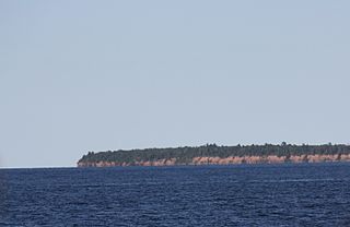
Cat Island is a Wisconsin island in Lake Superior. It is one of the Apostle Islands and a part of the Apostle Islands National Lakeshore. It is located at 47°00′48″N 090°33′33″W. Variant names include Caterhemlock Island and Kagagiwanijikag Miniss. According to USGS GNIS, there is a smaller Cat Island in Brown County, Wisconsin just off shore of the city of Green Bay..

New Hope is an unincorporated community in Washington County, Florida, United States. It is located on State Road 79.
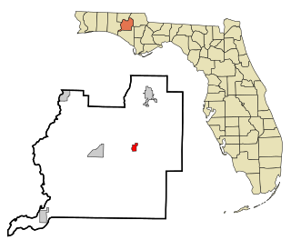
Willis is an unincorporated community in Calhoun County, Florida, United States. It is located on State Road 73.

The Sandilands Provincial Forest is located within the southeastern area of Manitoba, Canada and consists of thousands of acres of sand hills, forest, wetlands, and mostly unpopulated crown lands. Sandilands Provincial Forest covers close to 3,000 km². The area has been logged for decades, and it is popular for hiking, hunting, and camping. The large sand eskers and hills were left behind by the last ice age as the glaciers retreated and deposited large rocks, boulders, and vast amounts of sand. These sand ridges sometimes called the Bedford Hills or Cyprus Hills, are the second highest point in Manitoba, behind Baldy Mountain.

The Chipola River is a tributary of the Apalachicola River in western Florida. It is part of the ACF River Basin watershed.

Summit Lawn is a small unincorporated village in Lehigh County, Pennsylvania, in the Lehigh Valley region of the state. Parts of Summit Lawn are in Upper Saucon Township while others are in Salisbury Township. The Salisbury Township government offices are located in Summit Lawn.

The Upper Skagit Indian Tribe are a federally recognized Native American tribe living in the state of Washington. Before European colonization, the tribe occupied lands along the Skagit River, from as far downstream as present-day Mount Vernon, Washington, and villages going north as far as Newhalem along the Skagit River, as well as lands on the Baker, and the Sauk rivers.

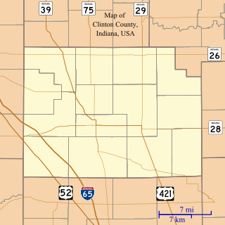
Cambria is an unincorporated community in Owen Township, Clinton County, Indiana.

The Kettle River Range, often called the Kettle Range, is the southernmost range of the Monashee Mountains, located in far southeastern British Columbia, Canada and Ferry County, Washington, in the United States. Most of the northern half of the range is protected by the Colville National Forest and the southern half of the range is located on the Colville Indian Reservation. The highest peak is Copper Butte, which reaches 2,177 metres (7,142 ft). The range is crossed by Washington State Route 20 at Sherman Pass.
Greenhead is an unincorporated community in Washington County, Florida, United States. It is located along State Road 77 north of Sand Hills (Florida), and is the home of the Greenhead Gun Club LLC. Greenhead is also the location of the deed restricted, Grassy Pond Community, surrounding Grassy Pond and is governed by a homeowner's association.

The Rimrock Resort Hotel is a hotel in Banff, Alberta, Canada, on the slope of Sulphur Mountain, within Banff National Park. It has 346 rooms and 21 suites, two restaurants, two lounges and a coffee shop. U.S. News & World Report voted it the fifth best hotel in the province in 2015, and noted that it was included in the Travel + Leisure 500 World's Best Hotels for 2015.
Potato Hill is a summit in Latah County, Idaho, in the United States. With an elevation of 4,078 feet (1,243 m), Potato Hill is the 2380th highest summit in the state of Idaho.

Braxtons Siding is an unincorporated community in Paoli Township, Orange County, in the U.S. state of Indiana.


