
The Province of Naples was a province in the Campania region of southern Italy; since January 2015 has been replaced by the Metropolitan City of Naples.
The Parthenope University of Naples is one of the universities located in Naples, Italy.

Porta Capuana is an ancient city gate in Naples, southern Italy. The gate also gives name to the zone, which is one of the ten boroughs of Naples. This zone being part of the Fourth Municipality.

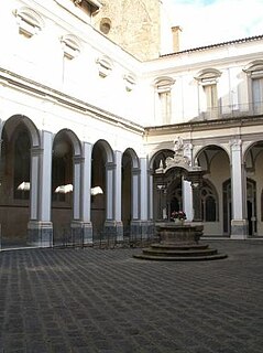
San Gennaro dei Poveri is a former monastery and church complex, later converted into a hospital for indigent located on Via San Gennaro dei Poveri #25 in the Rione Sanità, of the city of Naples, Italy. The elongaged complex rises towards Capodimonte, lying just south of the domed Basilica dell'Incoronata Madre del Buon Consiglio.
Porto is one of the thirty quarters ("quartieri") of the city of Naples. It covers 1.14 square kilometres (0.44 sq mi), and as of 2009, had 5738 inhabitants.
Mercato (Italian:"market") is a neighbourhood or quartiere of Naples, southern Italy. It is in the south-eastern part of the city, bounded by the industrial port of Naples on the south.
San Lorenzo is a neighbourhood of Naples, southern Italy. It incorporates the precise geographical center of the ancient Greco-Roman city, centered on the intersection of Via San Gregorio Armeno and Via dei Tribunali.

San Giuseppe is a neighbourhood of Naples, southern Italy, that includes many of the items of interest on the western side of the historic center of Naples, including the square and church of Gesù Nuovo, the buildings along via Benedetto Croce and the square, Piazza San Domeico Maggiore.

Stella is a neighbourhood of Naples, southern Italy. The area includes the National Archaeological Museum, stretches north through the Sanità section of the city, up the Capodimonte hill to include the grounds and buildings of the Capodimonte art museum.
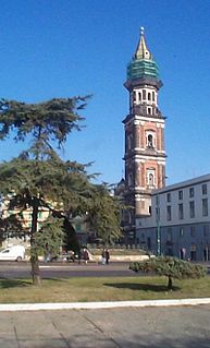
Piscinola, or Piscinola-Marianella, is a northern suburb of Naples, Italy, with a population of ca. 20,000. It is bordered to the north by the Scampia district, north-west with the municipality of Mugnano of Naples, on the west by the Chiaia district, to the south with the district of San Carlo all'Arena and east with the district Miano.

The Phlegraean Islands is an archipelago in the Gulf of Naples and the Campania region of southern Italy.
The Campanian Archipelago, also called Neapolitan Archipelago, is an archipelago in the Tyrrhenian Sea, in southwestern Italy. It principally comprises 5 islands: Capri, Ischia, Nisida, Procida, and Vivara. Most of the archipelago belongs to the Metropolitan City of Naples.

Katnaghbyur is a town in the Kotayk Province of Armenia.

San Carlo alle Mortelle is a Baroque style, Roman Catholic church in central Naples, Italy.

Sant'Agrippino a Forcella is a church located on Via Forcella in Naples, Italy. A church at the site may have been present since the fifth century, but we have documentation of a consecration during the papacy of pope Clement IV in 1265-1268.

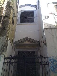
San Giacomo degli Italiani is a church located on Via Depretis in Naples, Italy.
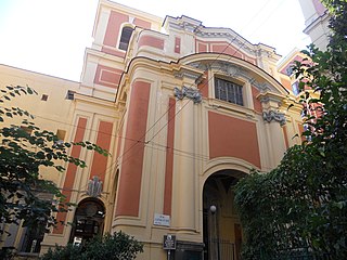
The church of Santa Caterina da Siena is located in the city center of Naples, Italy, and while built in the 16th century, the interior was decorated by Baroque era artists over the next two centuries.

The church of Saint Barbara of the Gunners(in Italian) or Santa Barbara dei Cannonieri e dei Marinai is a small religious edifice in central Naples, Italy. It is located on Rua Catalana, near the church of San Giacomo degli Italiani. The church embedded in the Castel Nuovo of Naples, has also been called Santa Barbara.
Sant'Angelo a Segno, NaplesSant’Angelo a Segno or Sant’Archangelo a Segno is a Roman Catholic church in Naples, Italy, located on Via dei Tribunali number 45.


