Related Research Articles

The Departamento de Canelones , with an area of 4,536 km2 (1,751 sq mi) and 518,154 inhabitants, is located in the south of Uruguay. Its capital is Canelones.

San José Department is a department of Uruguay. Its capital is San José de Mayo. It borders Colonia Department to the west, Flores Department to the north and the departments of Florida, Canelones and Montevideo to the east. Its southern limits are described by its coastline on Rio de la Plata.

The Santa Lucía River is a river in Uruguay.

The Chamber of Senators is the upper house of the General Assembly of Uruguay. The Chamber has 30 members elected for a five-year term by proportional representation; the vice-president of Uruguay presides over the chamber's sessions.

The Chamber of Representatives is the lower house of the General Assembly of Uruguay. The Chamber has 99 members, elected for a five-year term by proportional representation with at least two members per department. As of the last election, the Broad Front has retained its majority with 50 Deputies with the National Party receiving 31, the Colorado Party receiving 17, and the Independent Party electing two.

The Montevideo Uruguay Temple is the 103rd operating temple of The Church of Jesus Christ of Latter-day Saints.

Solís Theatre is Uruguay's most important and renowned theatre. It opened in 1856 and the building was designed by the Italian architect Carlo Zucchi. It is located in Montevideo's Old Town, right next to the Plaza Independencia.

Avenida 18 de Julio, or 18 de Julio Avenue, is the most important avenue in Montevideo, Uruguay. It is named after the date the first Constitution of Uruguay was written: July 18, 1830.

The Legislative Palace in Montevideo, Uruguay, is the site where the Uruguayan parliament meets.

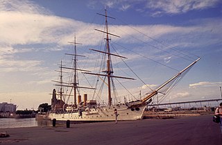
ARA Presidente Sarmiento is a museum ship in Argentina, originally built as a training ship for the Argentine Navy and named after Domingo Faustino Sarmiento, the seventh President of Argentina. She is considered to be the last intact cruising training ship from the 1890s.

Colón Sudeste–Abayubá is a composite barrio of Montevideo, Uruguay.

The Port of Montevideo, in the northern part of the Old City of Montevideo, Uruguay, is one of the major ports of South America and plays a very important role in the economy of Uruguay.

The Bay of Montevideo is the bay around the city of Montevideo, Uruguay in the Rio de la Plata. It was previously named by Pedro de Mendoza as "Bahía de la Candelaria".

Route 5 is a national route of Uruguay. In 1975, it was assigned the name Brigadier General Fructuoso Rivera, a national hero of Uruguay. It is one of the most important highways in country, along with Route 3, connecting Montevideo in the south with Rivera in the north and passing through the centre of the country. The road is approximately 501 kilometres (311 mi) in length. Upon reaching Santana do Livramento, the road joins federal highway BR-158.

The Battle of Cardal, on 20 January 1807, was the main conflict between the Spanish defense forces of Montevideo, Uruguay, and British troops during the siege of Montevideo during the second British invasion of the River Plate. The British won an easy victory over the outnumbered opposing forces, which paved the way for the fall of the city,

The Ilimpeya is a river in Krasnoyarsk Krai, Russia. It is a left tributary of the Nizhnyaya Tunguska River.

This is a list of the extreme points of Uruguay, the points that are farther north, south, east or west than any other location, and the highest and lowest points. It is also notable that Uruguay's northernmost point is farther south than the northernmost point of any other nation.

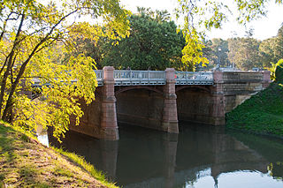
Miguelete Creek is a Uruguayan stream, crossing Montevideo Department. It flows into the Bay of Montevideo and then into the Río de la Plata. It has a very significant history behind, since colonial times.

Carrasco Creek is a Uruguayan stream, separating Canelones Department and Montevideo Department. It flows from the Carrasco Swamps into the Río de la Plata.
References
- Rand McNally, The New International Atlas, 1993.
- GEOnet Names Server
Coordinates: 34°21′08″S56°20′21″W / 34.3521°S 56.3392°W

A geographic coordinate system is a coordinate system that enables every location on Earth to be specified by a set of numbers, letters or symbols. The coordinates are often chosen such that one of the numbers represents a vertical position and two or three of the numbers represent a horizontal position; alternatively, a geographic position may be expressed in a combined three-dimensional Cartesian vector. A common choice of coordinates is latitude, longitude and elevation. To specify a location on a plane requires a map projection.
| This article related to a river in Uruguay is a stub. You can help Wikipedia by expanding it. |