Related Research Articles

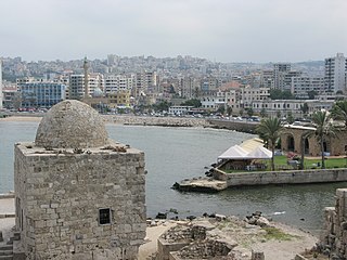
Sidon or Saida is the third-largest city in Lebanon. It is located on the Mediterranean coast in the South Governorate, of which it is the capital. Tyre, to the south, and the Lebanese capital of Beirut, to the north, are both about 40 kilometres away. Sidon has a population of about 80,000 within the city limits, while its metropolitan area has more than a quarter-million inhabitants.

Beirut is the capital and largest city of Lebanon. As of 2014, Greater Beirut has a population of 2.5 million, which makes it the third-largest city in the Levant region and the thirteenth-largest in the Arab world. The city is situated on a peninsula at the midpoint of Lebanon's Mediterranean coast. Beirut has been inhabited for more than 5,000 years, making it one of the oldest cities in the world.

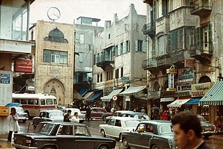
A bazaar or souk is a marketplace consisting of multiple small stalls or shops, especially in the Middle East, the Balkans, Central Asia, North Africa and South Asia. They are traditionally located in vaulted or covered streets that have doors on each end and served as a city's central marketplace.

Martyrs' Square, historically known as "Al Burj" or "Place des Cannons", is the historical central public square of Beirut, Lebanon.

Aley is a major city in Lebanon. It is the capital of the Aley District and fourth largest city in Lebanon.

Dahieh is a predominantly Shia Muslim suburb in the south of Beirut, in the Baabda District of Lebanon. It has a minority of Sunni Muslims, Christians, and a Palestinian refugee camp with 20,000 inhabitants. It is a residential and commercial area with malls, stores and souks, and comprises several towns and municipalities. It is north of Rafic Hariri International Airport, and the M51 Freeway that links Beirut to the airport passes through it.

The Beirut Central District is the historical and geographical core of Beirut, the capital of Lebanon. Also called downtown Beirut, it has been described as the “vibrant financial, commercial, and administrative hub of the country.” It is thousands of years old, with a traditional focus of business, finance, culture, and leisure.
Souk El Gharb, also spelled Suk, Sug al, ul, Suq), is a town located in the Aley District, Mount Lebanon Governorate, in Lebanon and its name translates to "Western Market".

Beirut Souks is a major commercial district in Beirut Central District. With over 200 shops, 25 restaurants and cafes, an entertainment center, a 14 cinema complex, periodic street markets, and an upcoming department store, it is Beirut's largest and most diverse shopping and leisure area. Beirut Souks also features piazzas, and public space. Designed in five separate commissions by international and Lebanese architects, Beirut Souks offer 128,000 sq. m of built-up area interspersed with landscaped pedestrian zones.

Rue Weygand is a street in Beirut's Central Business District. Originally, the street was named Rue Nouvelle as it was a new thoroughfare constructed as part of a modernization plan in 1915. Upon its completion, the street was renamed after Maxime Weygand, the High Commissioner of French-mandated Syria and Lebanon who served from 19 April 1923 to 29 November 1924.
City Wall and Moat is located in Beirut, Lebanon.

Bab Idriss Square is a square in downtown Beirut, Lebanon.
Emir Munzer Mosque is a mosque located in Beirut Central District, Lebanon.

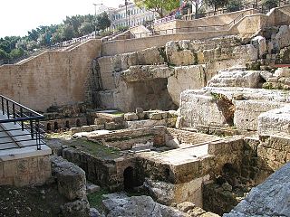
The Roman Forum is located in Beirut, Lebanon.

Al-Majidiyyeh Mosque is a mosque located in Beirut, Lebanon.

Beirut Castle was a major Crusader castle located in downtown Beirut, Lebanon. It was mostly built during the Crusades and demolished during works of extension of the Port of Beirut in the late 19th century.
Phoenico-Persian Quarter is located in Beirut, Lebanon.

Colonnaded Street is located in downtown Beirut, Lebanon. it was an important street of Roman-era Berytus.
The Beirut Heritage Trail is a project undertaken by Solidere with the support of the Ministry of Culture and the Municipality of Beirut. Marked out by bronze medallions grouted into the sidewalk, the trail will link archeological sites, historic public spaces and heritage buildings over a 2.5 km walking circuit in the historic core of Beirut.

The Bank of Syria and Lebanon, from 1919 to 1924 Banque de Syrie, from 1924 to 1939 Banque de Syrie et du Grand-Liban, then Banque de Syrie et du Liban (BSL) from 1939 to 1963, was a French bank that was carved out from the Imperial Ottoman Bank following World War I and granted a central banking role in what would become Syria and Lebanon under French mandate and in the early years of the two countries' independence.
References
- Kassir, Samir (2003). Histoire de Beyrouth. Beirut: Fayad. ISBN 9782213029801.
- Perring, Dominic (1997). "Excavations in the Souks of Beirut: An introduction to the work of the anglo-Lebanese team and summary report". Berytus (43): 9–34.
- The Souks in their Memory" (1994) in : The Reconstruction of the Souks of Beirut. An International Ideas Competition, Solidere, Beirut.}