You can help expand this article with text translated from the corresponding article in Dutch. (August 2020)Click [show] for important translation instructions.
|
Strombeek-Bever | |
|---|---|
Town | |
 | |
 Strombeek-Bever Location in Belgium | |
| Coordinates: 50°55′N4°21′E / 50.91°N 4.35°E | |
| Country | |
| Region | |
| Province | |
| Population | |
• Total | 11,500 |
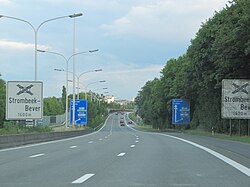
Strombeek-Bever is a town with approximately 11,500 inhabitants in the municipality of Grimbergen, in the province of Flemish Brabant, Belgium. A suburb on the north side of Brussels, it is separated from Grimbergen proper by the R0 ring road around the city. It borders the Mutsaard neighbourhood of Laeken (within Brussels) to the south and the municipality of Vilvoorde to the east.
The official language of Strombeek-Bever is Dutch, as in the rest of Flanders. There is a substantial minority of French-speakers.
| | This Flemish Brabant location article is a stub. You can help Wikipedia by expanding it. |