History

Susannaberg was during the Danish colonial era the name of a sugar plantation.
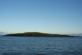
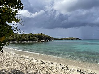
Susannaberg is a neighborhood on the island of Saint John in the United States Virgin Islands. Part of this area is inside Virgin Islands National Park. The island's medical clinic, lumberyard, and several other businesses are located in Susannaberg.
Susannaberg was during the Danish colonial era the name of a sugar plantation.

The United States Virgin Islands are a group of several dozen islands and cays located in the Caribbean, about 1,100 miles (1,770 km) southeast of Florida, 600 miles (966 km) north of Venezuela, 40 miles (64 km) east of Puerto Rico, and immediately west and south of the British Virgin Islands.

Smithboro is a village in Bond County, Illinois, United States. The population was 154 at the 2020 census.

Au Train Township is a civil township of Alger County in the U.S. state of Michigan. As of the 2020 census, its population was 1,019.

Venango is a borough in Crawford County, Pennsylvania, United States. The population was 210 at the 2020 census, down from 239 at the 2010 census, down from 288 in 2000.

Junction City is a census-designated place (CDP) in Grays Harbor County, Washington, United States. The population was 18 at the 2010 census.

Montana is a town in Buffalo County in the U.S. state of Wisconsin. The population was 284 at the 2010 census. The unincorporated community of Montana is located in the town.

Cruz Bay, U.S. Virgin Islands is the main town on the island of Saint John in the United States Virgin Islands. According to the 2000 census, Cruz Bay had a population of 2,743.
Area code 340 is the local telephone area code of the U.S. Virgin Islands. The 340 area code was created during a split from the original 809 area code, which began permissive dialing on 1 June 1997 and ended 30 June 1998.

The Elridge Wilburn Blake Sports and Fitness Center is an indoor sporting arena located in Charlotte Amalie West, Saint Thomas, United States Virgin Islands. It is on the Orville E. Kean Campus of the University of the Virgin Islands and is the home for both the Buccaneers men's and Lady Buccaneers women's basketball teams. The capacity of the arena is 3,000 people.
East Linga is one of the Shetland Islands. It lies between Whalsay, and Grif Skerry to the east.
Pendleton Center is a hamlet in the town of Pendleton in Niagara County, New York, United States.
Bovoni is a settlement on the island of Saint Thomas in the United States Virgin Islands.

Hoffman is a settlement on the island of Saint Thomas in the United States Virgin Islands.
Bonne Resolution is a settlement on the island of Saint Thomas in the United States Virgin Islands. It is part of the Northside Administrative District. Crown Mountain, the highest point in the US Virgin Islands, is in Bonne Resolution.
Adrian is a neighborhood on the island of Saint John in the United States Virgin Islands. Much of this area is part of Virgin Islands National Park. The Catherineburg Sugar Mill Ruins are in Adrian. The only grove of bamboo on St. John can be found here, to the east of John Head Road.
Bordeaux is a neighborhood on the island of Saint John in the United States Virgin Islands. It is named for Mount Bordeaux, the highest point on the island. Most of this area is part of Virgin Islands National Park.
Fish Bay is a bay and neighborhood on the island of Saint John in the United States Virgin Islands. Most of this area is part of Virgin Islands National Park.
Lameshur is a former plantation on the island of Saint John in the United States Virgin Islands. It is inside Virgin Islands National Park and home to the Virgin Islands Environmental Resource Station (VIERS). The Tektite program placed two underwater habitats in Great Lameshur Bay and the Tektite Underwater Habitat Museum is located in the VIERS camp. The road to Lameshur is unmaintained and 4 wheel drive vehicles are often required. The University of the Virgin Islands has a research station and dock in Lameshur on Yawzi Point.

U.S. Virgin Islands Governor's Mansion may refer to any one of the three official residences owned by the government of the U.S. Virgin Islands and provided to the Governor of the United States Virgin Islands. One residence is located on each of the three largest inhabited islands of this U.S. territory in the Caribbean. The U.S. Virgin Islands maintains more official gubernatorial residences than any other state or territory of the United States.
18°20′29″N64°46′22″W / 18.34139°N 64.77278°W
| | This Saint John, United States Virgin Islands location article is a stub. You can help Wikipedia by expanding it. |