| Look up swale in Wiktionary, the free dictionary. |
Swale or Swales may refer to:
| Look up swale in Wiktionary, the free dictionary. |
Swale or Swales may refer to:
| This disambiguation page lists articles associated with the title Swale. If an internal link led you here, you may wish to change the link to point directly to the intended article. |
Brompton or The Brompton may refer to:

Swale is a local government district with borough status in Kent, England and is bounded by Medway to the west, Canterbury to the east, Ashford to the south and Maidstone to the south west. Its council is based in Sittingbourne. The district is named after the narrow channel called The Swale, that separates the mainland of Kent from the Isle of Sheppey, and which occupies the central part of the district.

The Swale is a tidal channel of the Thames estuary that separates the Isle of Sheppey from the rest of Kent. On its banks is a 6,509.4-hectare (16,085-acre) biological Site of Special Scientific Interest which stretches from Sittingbourne to Whitstable in Kent. It is also a Ramsar internationally important wetland site and a Special Protection Area under the European Union Directive on the Conservation of Wild Birds. Parts of it are a Nature Conservation Review site, Grade I, National Nature Reserves, a Kent Wildlife Trust nature reserve and a Local Nature Reserve.

Swale railway station is in north Kent, England, on the Sheerness Line 47 miles 15 chains (75.9 km) from London Victoria, at the southern end of the Kingsferry Bridge which, along with the more modern Sheppey Crossing, connects the Isle of Sheppey to mainland Kent. The nearest settlement is Iwade. Train services are provided by Southeastern.

Faversham and Mid Kent is a constituency represented in the House of Commons of the UK Parliament. Since 2015, the seat has been represented by Helen Whately of the Conservative Party.

Teynham is a large village and civil parish in the borough of Swale in Kent, England. The parish lies between the towns of Sittingbourne and Faversham, immediately north of the A2 road, and includes the hamlet of Conyer on an inlet of the Swale, the channel that separates mainland Kent from the Isle of Sheppey. Other hamlets include Deerton Street, Frognal, and Teynham Street.Teynham also has a carnival court. There is selections every year when girls from 14-18 can audition to be Miss Teynham or a Teynham princess.
Crouch may refer to:
Tonge may refer to:

Oare Marshes is a 71.4-hectare (176-acre) Local Nature Reserve north of Faversham in Kent. It is owned and managed by Kent Wildlife Trust. It is part of The Swale Nature Conservation Review site, Grade I, National Nature Reserve, Ramsar internationally important wetland site, Special Protection Area under the European Union Directive on the Conservation of Wild Birds, and Site of Special Scientific Interest.

South Swale is a 410.5-hectare (1,014-acre) Local Nature Reserve north of Faversham in Kent. It is owned by Kent County Council and managed by Kent Wildlife Trust. It is part of The Swale Ramsar site, Special Protection Area and Site of Special Scientific Interest

Meopham School is a Coeducational secondary school with approximately 550 students, located in Meopham, Kent, England, UK. The school is non-selective and therefore caters for a wide ability range of students. The school delivers academic and personal success through a traditional curriculum and a focus on the core subjects of English, Mathematics and Science.

Swale Borough Council in Kent, England is elected every four years. Until 2011 one third of the council was elected every year, followed by one year without election. Since the last boundary changes in 2002, 47 councillors have been elected from 25 wards.
The 2000 Swale Borough Council election took place on 4 May 2000 to elect members of Swale Borough Council in Kent, England. One third of the council was up for election and the council remained under no overall control.

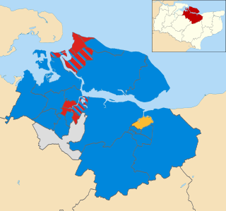
The 2002 Swale Borough Council election took place on 2 May 2002 to elect members of Swale Borough Council in Kent, England. The whole council was up for election with boundary changes since the last election in 2000 reducing the number of seats by two. The Conservative party gained overall control of the council from no overall control.

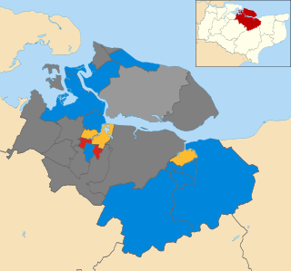
The 2004 Swale Borough Council election took place on 10 June 2004 to elect members of Swale Borough Council in Kent, England. One third of the council was up for election and the Conservative party stayed in overall control of the council.

The 2006 Swale Borough Council election took place on 4 May 2006 to elect members of Swale Borough Council in Kent, England. One third of the council was up for election and the Conservative party stayed in overall control of the council.

The 2007 Swale Borough Council election took place on 3 May 2007 to elect members of Swale Borough Council in Kent, England. One third of the council was up for election and the Conservative party stayed in overall control of the council.

The 2008 Swale Borough Council election took place on 1 May 2008 to elect members of Swale Borough Council in Kent, England. One third of the council was up for election and the Conservative party stayed in overall control of the council.

The 2011 Swale Borough Council election took place on 5 May 2011 to elect members of Swale Borough Council in Kent, England. The whole council was up for election and the Conservative party stayed in overall control of the council.

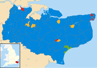
The 2017 Kent County Council election was held on 4 May 2017 as part of the 2017 local elections in the United Kingdom. All 81 councillors were elected, from 72 electoral divisions, each of which returned either one or two county councillors by first-past-the-post voting for a four-year term of office.