Kukenan Falls is the second tallest major waterfall in Venezuela after Angel Falls. It is also the second tallest free-leaping waterfall in the world. Overall, it is usually cited as the 11th highest waterfall in the world. The falls drop in a single leap of around 2,211 feet (674 m) and the final portion of the falls trickles down towards the base of the Kukenan Tepui.

Mount Roraima is the highest of the Pakaraima chain of tepui plateaus in South America. First described to Europeans by the English explorer Sir Walter Raleigh during his 1595 expedition, its 31-square-kilometre (12-square-mile) summit area is bounded on all sides by cliffs rising 400 metres (1,300 ft). The mountain also serves as the tripoint of Venezuela, Guyana and Brazil. Raleigh learned about it from indigenous peoples, who lived there before the European invasion of the 15-1600's.

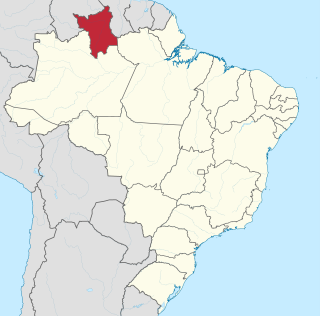
Boa Vista is the capital of the Brazilian state of Roraima. Situated on the western bank of the Branco River, the city lies 220 km (140 mi) from Brazil's border with Venezuela. It is the only Brazilian state capital located entirely north of the equator.
The Pacaraima or Pakaraima Mountains are a mountain range primarily in southwestern Guyana, and into northern Brazil and eastern Venezuela.

The Ireng River forms part of Guyana's western border with Brazil. It flows through the valleys of the Pakaraima Mountains for most of its length. It is the only major river in Guyana which flows from North to South. It is one of the northernmost tributaries of the Amazon river system.
Jufari River is a river forming part of the border between Amazonas and Roraima states in north-western Brazil.
The Ajarani River is a river of Roraima state in northern Brazil.
The Arraia River is a river of Roraima state in northern Brazil.
The Auari River (Awaris) is a river of Roraima state in northern Brazil.
The Caju River is a river of Roraima state in northern Brazil.
The Catrimani River is a river of Roraima state in northern Brazil.
The Furo Santa Rosa is a river of Roraima state in northern Brazil.
The Macucuaú River is a river of Roraima state in northern Brazil.
The Paricarana River is a river of Roraima state in northern Brazil.
The Parimé River is a river of Roraima state in northern Brazil.
The Surumu River is a river of Roraima state in northern Brazil.
The Uatatas River is a river of Roraima state in northern Brazil.
The Uauaris River is a river which runs within the Roraima state in northern Brazil.
The Água Boa do Univini River is a river of Roraima state in northern Brazil.

Duneaton Water is a river in South Lanarkshire, Scotland. It joins the River Clyde at Abington.