Related Research Articles

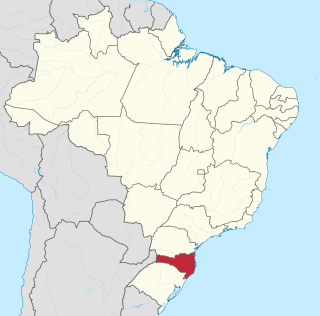
Santa Catarina is one of the 27 federative units of Brazil. It is located in the centre of the country's Southern region. It is bordered to the north by the state of Paraná, to the south by the state of Rio Grande do Sul, to the east by the Atlantic Ocean, and to the west by the Argentine province of Misiones.

Florianópolis is the capital and second largest city of the state of Santa Catarina, in the South region of Brazil. The city encompasses Santa Catarina Island and surrounding small islands, as well as part of the mainland. It has a population of 537,211, according to the 2022 Brazilian census, the second-most populous city in the state, and the 39th in Brazil. The metropolitan area has an estimated population of 1,111,702, the 21st largest in the country. The city is known for having the country's third highest Human Development Index score among all Brazilian cities (0.847).

Santa Catarina is a concelho (municipality) of Cape Verde. It is situated in the western part of the island of Santiago. Its seat is the city of Assomada. Its population was 45,920 in 2017 (estimate). Its area is 242.6 km2 (93.7 sq mi).

Itajaí is a municipality in the state of Santa Catarina, Brazil. It is located on the northern central coast of Santa Catarina and is part of the Vale do Itajaí Mesoregion, on the right bank of the Itajaí-Açu river mouth. It lies at the mouth of the Itajaí River, at 20 feet above sea level. The city has the 2nd largest gross domestic product and the highest per capita income in the State of Santa Catarina.

Águas Mornas is a Brazilian municipality in the state of Santa Catarina.

Tubarão is a Brazilian municipality located in southern part of Santa Catarina state. The population, according to the IBGE/2020 estimate was 106,422. It is the main city of the Tubarão River basin region, which comprises 20 municipalities and has a population of 350,000.

Agrolândia is a Brazilian municipality in the state of Santa Catarina. It is located in the micro-region of Rio do Sul, with agriculture as its main economic activity. It was colonized by the Germans, who are the main ethnic group. The main access to the municipality is through the SC-426 highway, starting from BR-470. There are secondary accesses through Otacílio Costa, going down the mountain on a gravel road. There are also secondary accesses from the municipality of Braço do Trombudo and through Ituporanga via Atalanta.

Agronômica (Agronomic) is a Brazilian municipality in the state of Santa Catarina.

Dona Francisca is a municipality in the state of Rio Grande do Sul, Brazil.

Campos Novos is a city in Santa Catarina, in the Southern Region of Brazil. Campos Novos is a pioneer in production of pollen and the biggest grain and oat producer of Santa Catarina. The municipality invests also into fat stock and poultry farming.

Paulo Lopes is a municipality in the state of Santa Catarina in the South region of Brazil.

The coastline of Brazil measures 7,491 km, making it the 16th longest national coastline in the world. The coastline touches exclusively the Atlantic Ocean.

Alfredo Wagner is a municipality in the state of Santa Catarina in the South region of Brazil.

Caçador is a municipality in the state of Santa Catarina in the South region of Brazil.
Balneário Gaivota is a municipality in the state of Santa Catarina in the South region of Brazil. Balneario Gaivota has the largest beach shore in Santa Catarina.
Rio do Sul is a municipality in the state of Santa Catarina in the South region of Brazil.

Camboriú is a municipality in the state of Santa Catarina in the South region of Brazil. It is near Balneario Camboriu, a popular beach destination.

Trombudo Central is a municipality in the state of Santa Catarina in the South region of Brazil.

Saudade do Iguaçu is a municipality in the Brazilian state of Paraná. It has an area of 152.085 square kilometres (58.720 sq mi). It has a humid subtropical climate. As of 2020 the estimated population was 5,539. The municipality contains the Salto Santiago Hydroelectric Power Plant on the Iguazu River.
References
- Map from Ministry of Transport