Twifo/Heman/Lower Denkyira District | |
|---|---|
Former District | |
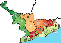
 Districts of Central Region | |
 Twifo/Heman/Lower Denkyira District Location of Twifo/Heman/Lower Denkyira District within Central | |
| Coordinates: 5°36′41.76″N1°32′58.56″W / 5.6116000°N 1.5496000°W | |
| Country | |
| Region | |
| Capital | Twifo Praso |
| Government | |
| • District Executive | Emmanuel Kwadwo Nanah |
| Population (2021) | |
• Total | 66,075 [1] |
| Time zone | UTC+0 (GMT) |
| ISO 3166 code | GH-CP-__ |
Twifo/Heman/Lower Denkyira District is a former district that was located in Central Region, Ghana. Originally created as an ordinary district assembly in 1988, which was created from the former Denkyira District Council. However on 28 June 2012, it was split off into two new districts: Twifo-Atti Morkwa District (capital: Twifo Praso) and Hemang-Lower Denkyira District (capital: Twifo Hemang). The district assembly was located in the northwest part of Central Region and had Twifo Praso as its capital town.