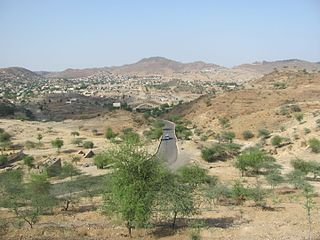
Ghinda is a town in the Northern Red Sea region of Eritrea. It is situated in the Ghinda Subregion, and lies between Asmara and Massawa.
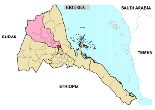
Adi Tekelezan Subregion is a subregion in the northwestern Anseba region of Eritrea. The capital lies at Adi Tekelezan.

Elabered Subregion is a subregion in the northwestern Anseba region of Eritrea. Its capital lies at Elabered.

Geleb Subregion is a subregion in the northwestern Anseba region of Eritrea. Its capital lies at Geleb.
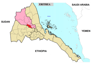
Hagaz Subregion is a subregion in the northwestern Anseba region of Eritrea. Its capital lies at Hagaz (Hagat).

Keren Subregion is a subregion in the northwestern Anseba region of Eritrea. Its capital lies at Keren (Cheren).
Ghala Nefhi Subregion is a subregion in the central Maekel region of Eritrea. Its capital lies at Ghala Nefhi.
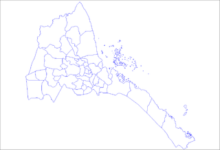
North Eastern Subregion is a subregion in the central Maekel region of Eritrea.
Serejaka Subregion is a subregion in the central Maekel region of Eritrea. Its capital lies at Serejaka.
South Eastern Subregion is a subregion in the central Maekel (Maakel) region of Eritrea.
South Western Subregion is a subregion in the central Maekel region of Eritrea.
Haykota Subregion is a subregion in the western Gash-Barka region of Eritrea. Its capital lies at Haykota.
Teseney Subregion is a subregion in the western Gash-Barka region of Eritrea. Its capital lies at Teseney.
Ghela'elo Subregion is a subregion in the Northern Red Sea region of Eritrea. Its capital lies at Ghela'elo (Ghelalo).
Foro Subregion is a subregion in the Northern Red Sea region of Eritrea. Its capital lies at Foro.
Massawa Subregion is a subregion in the Northern Red Sea region of Eritrea. Its capital lies at Massawa.
Adi Keyh Subregion is a subregion in the Debub (Southern) region of Eritrea. Its capital lies at Adi Keyh.
Dekemhare Subregion is a subregion in the southern Debub region of Eritrea. Its capital lies at Dekemhare.
Senafe Subregion is a subregion in the Debub (Southern) region of Eritrea. Its capital is Senafe, and high points include Emba Soira.