
Congleton is a town and civil parish in Cheshire, England, on the River Dane, 21 miles (34 km) south of Manchester and west of the Macclesfield Canal. At the 2011 Census, it had a population of 26,482.

Matlock is the county town of Derbyshire, England. It is situated at the south eastern part of the Peak District, with the National Park directly to the west. The town is twinned with the French town Eaubonne. The former spa resort Matlock Bath lies immediately south of the town on the A6. The civil parish of Matlock Town had a population in the 2011 UK census of 9,543. The population of the wider Matlock urban area is approximately 20,000.
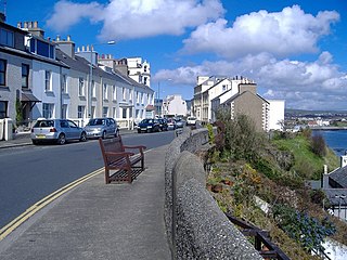
Port St Mary is a village district in the south-west of the Isle of Man. The village takes its name from the former Chapel of St Mary which is thought to have overlooked Chapel Bay in the village. Its population is 1,953 according to the 2011 census. In the 19th century it was sometimes called Port-le-Murray.

Cinderford is a small town and civil parish on the eastern fringe of the Forest of Dean in Gloucestershire, England, which had a population of 8,494 at the 2011 census.

Darley Dale, also known simply as Darley, is a town and civil parish in the Derbyshire Dales district of Derbyshire, England, with a population of around 6,000. It lies north of Matlock, on the River Derwent and the A6 road.The town forms part of the urban area of Matlock. It is a commuter town for workers in Matlock.
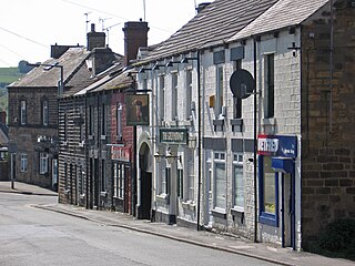
Worsbrough is an area about two miles south of Barnsley in the metropolitan borough of Barnsley, South Yorkshire, England. Before 1974, Worsbrough had its own urban district council in the West Riding of the historic county of Yorkshire and it is still counted as a separate place from Barnsley by the 2011 Census, but it is often treated as part of Barnsley as the two settlements run into one another.
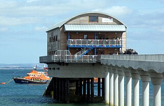
Bembridge is a village and civil parish located on the easternmost point of the Isle of Wight. It had a population of 3,848 according to the 2001 census of the United Kingdom, leading to the implausible claim by some residents that Bembridge is the largest village in England. Bembridge is home to many of the Island's wealthiest residents. The population had reduced to 3,688 at the 2011 Census.
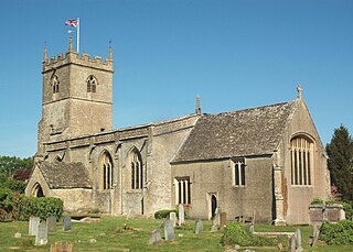
Combe is a village and civil parish about 5 miles (8 km) northeast of Witney in Oxfordshire. It is bounded to the south and southwest by the River Evenlode, to the northwest partly by the course of the Akeman Street Roman road and partly by a road parallel with it, and to the east by the boundary of Blenheim Great Park. The 2011 Census recorded the parish's population as 768.

Donhead St Mary is a village and civil parish in southwest Wiltshire, England, on the county border with Dorset. The village lies about 2 1⁄2 miles (4.0 km) east of the Dorset town of Shaftesbury and stands on high ground above the River Nadder, which rises in the parish.

Longton is a village and civil parish in the west of the borough of South Ribble, Lancashire, England. It is about 4 miles to the south west of Preston. The population of the civil parish, which also includes the village of New Longton, was 5,500 at the 2001 Census increasing to 7,652 at the 2011 Census.
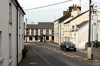
Ballasalla is a village in the parish of Malew in the south-east of the Isle of Man, close to the airport and the town of Castletown.
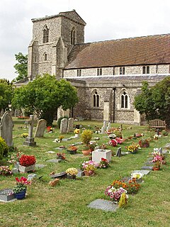
Chinnor is a large village and civil parish in South Oxfordshire about 4 miles (6.4 km) southeast of Thame. The village is a spring line settlement on the Icknield Way below the Chiltern escarpment. Since 1932 the civil parish has included the village of Emmington. The 2011 Census recorded the parish's population as 5,924.

Ley Hill is a Chiltern village on the Buckinghamshire/Hertfordshire border in south-east England, near the town of Chesham. It is part of the civil parish of Latimer and Ley Hill, and comes under Chiltern District Council in the County of Buckinghamshire. Ley Hill lies in the Chiltern Hills and is contiguous with Botley.
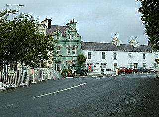
Ballaugh is a small village on the Isle of Man in the parish of the same name, in the sheading of Michael. It is the only village in the parish.

Clenchwarton is a small village, civil parish and electoral ward in the English county of Norfolk. It is located about 1 1⁄4 miles (2 km) west of the River Great Ouse, about 2 1⁄4 miles (4 km) from the town of King's Lynn on the east side of the river. The village has a Junior school, Clenchwarton Primary School, which has obtained high Ofsted results. In the centre of the village is a playing field used by the local bowls and football clubs - which have teams for all age groups. The village has two churches, the C of E Church of St Margaret and the Clenchwarton Methodist Church.
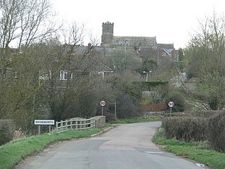
Brinkworth is a village and civil parish in northern Wiltshire, England. The village lies between Royal Wootton Bassett and Malmesbury, about 1 mile (1.6 km) north of the M4 motorway and 9 miles (14 km) west of Swindon.
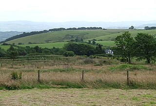
Penuwch is a rural village in Ceredigion, Wales.

Broomhedge is a small village in County Antrim, Northern Ireland, near Lisburn, approximately 12 miles (19 km) southwest of Belfast. It lies within the Lisburn City Council area, and the Maghaberry electoral ward.

Lledrod is a village and community in Ceredigion, Wales. The village is situated on the A485 road from Llanilar to Tregaron, where it crosses the valley of the River Wyre. The parish is divided into Lledrod Isaf and Lledrod Uchaf ; Lledrod village is located in the former, Swyddffynnon village is situated in the latter. The name 'Lledrod' is a contraction of Llanfihangel-Lledrod, which derives from Llanfihangel Llether-troed, meaning 'the church of St Michael at the foot of the slope'.
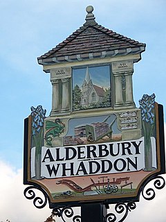
Alderbury is a village and civil parish in Wiltshire, England, about 3 miles (5 km) southeast of Salisbury.


