
The Parts of Holland is a historical division of Lincolnshire, England, encompassing the south-east of the county. The name is still recognised locally and survives in the district of South Holland.

The Parts of Kesteven are a traditional division of Lincolnshire, England. This division had long had a separate county administration, along with the two other Parts of Lincolnshire, Lindsey and Holland.

East Lindsey is a local government district in Lincolnshire, England. The population of the district council was 142,300 at the 2021 census. The council is based in Horncastle having moved from its former headquarters at Manby in December 2022. Other major settlements in the district include Alford, Wragby, Spilsby, Mablethorpe, Skegness, Horncastle, Chapel St Leonards, Louth and Woodhall Spa. Skegness is the largest town in East Lindsey, followed by Louth.

The Parts of Lindsey are a traditional division of Lincolnshire, England, covering the northern part of the county. The Isle of Axholme, which is on the west side of the River Trent, has normally formed part of it. The district's name originated from the Kingdom of Lindsey of Anglo-Saxon times, whose territories were merged with that of Stamford to form Lincolnshire.

Glanford was, from 1974 to 1996, a local government district with borough status in the non-metropolitan county of Humberside, England.
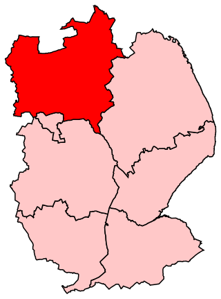
Gainsborough is a constituency in Lincolnshire represented in the House of Commons of the UK Parliament since 1983 by Sir Edward Leigh, a Conservative.
Maelor was a rural district in the administrative county of Flintshire, Wales, from 1894 to 1974. The area approximated to the hundred of Maelor or English Maelor, and was notable for forming a detached part of the county, surrounded by Cheshire, Denbighshire and Shropshire. The administrative centre was located at Overton.
Bucklow Rural District was, from 1894 to 1974, a local government district in the north of the administrative county of Cheshire, England. Following the Local Government Act 1972, this rural district was split between the new Greater Manchester boroughs of Trafford and Manchester, and Macclesfield, which was retained in Cheshire.
Branston was a rural district in Kesteven in Lincolnshire, England from 1894 to 1931. It was formed under the Local Government Act 1894 from the part of Lincoln rural sanitary district which was in Kesteven. It was abolished in 1931 under a County Review Order, and was merged into a North Kesteven Rural District.
East Retford was a rural district in Nottinghamshire, England from 1894 to 1974.

Louth was a rural district in Lincolnshire, Parts of Lindsey from 1894 to 1974. It was created in 1894 from Louth rural sanitary district. It did not include Louth, which was a separate municipal borough entirely surrounded by the rural district. Its boundaries changed little, losing Trusthorpe to the Mablethorpe and Sutton Urban District in 1925 and ceding suburbs to Louth. It was abolished by the Local Government Act 1972 in 1974 and made part of the new East Lindsey district.

Isle of Axholme was a rural district in Lincolnshire, Parts of Lindsey from 1894 to 1974. It was formed under the Local Government Act 1894 based on the Lincolnshire parts of the Thorne rural sanitary district and two parishes of the Goole RSD.

Welton was a rural district in Lincolnshire, Parts of Lindsey from 1894 to 1974. It was formed under the Local Government Act 1894 from that part of the Lincoln rural sanitary district which was in Lindsey – the Kesteven part forming the Branston Rural District. It was named after Welton.

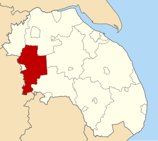
Glanford Brigg was a rural district in Lincolnshire, Parts of Lindsey from 1894 to 1974.
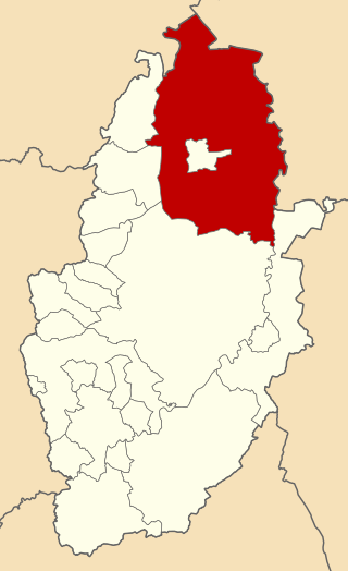
Gainsborough was rural district in Lincolnshire, Parts of Lindsey from 1894 to 1974.

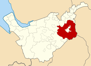
Caistor was a rural district in Lincolnshire, Parts of Lindsey from 1894 to 1974.
Macclesfield Rural District was a rural district of Cheshire, England from 1894 to 1974.
Beverley was a rural district in the East Riding of Yorkshire, England from 1894 to 1974.
Pocklington was a rural district in the East Riding of Yorkshire, England from 1894 to 1974.

Horncastle was an Urban District in Parts of Lindsey, Lincolnshire, England from 1894 to 1974. It was created under the Local Government Act 1894.
