Marlboro is an American brand of cigarettes owned by Philip Morris USA.

Marlboro Township is a township in Monmouth County, New Jersey, United States. The township is located within the Raritan Valley region and is a part of the New York Metropolitan Area. As of the 2010 United States Census, the township had a population of 40,191, reflecting an increase of 5,449 (+16.3%) from the 33,423 counted in the 2000 Census, which had in turn increased by 6,707 (+25.1%) from the 26,716 counted in the 1990 Census.
Marlboro is an unincorporated community located within Evesham Township in Burlington County, New Jersey, United States.
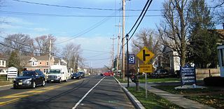
Marlboro is an unincorporated community located within Marlboro Township in Monmouth County, New Jersey, United States.

Clarksburg is an unincorporated community located within Millstone Township in Monmouth County, New Jersey, United States. The area is served as United States Postal Service ZIP code 08510.

The Henry Hudson Trail is a rail trail in western and northern Monmouth County, New Jersey. The trail is named for Henry Hudson, who explored the harbor at Atlantic Highlands and the Raritan Bayshore coastline in the early 1600s. The trail is not near the Hudson River.
New Jersey's 6th congressional district is represented by Democrat Frank Pallone, who has served the district in Congress since 1993. The district includes the northern and eastern portions of Middlesex County and the coastal areas of Monmouth County, including towns along the Raritan Bay.

Adelphia is an unincorporated community located within the northern section of Howell Township in Monmouth County, New Jersey, United States. The area is served as United States Postal Service ZIP code 07710. The community borders Freehold Township.
County Route 520 is a county highway in the U.S. state of New Jersey. County Route 520 is a major road across Monmouth County connecting the county's central towns to the Jersey Shore at Sea Bright. The highway extends 22.39 miles (36.03 km) from Englishtown Road in Old Bridge Township to Ocean Avenue in Sea Bright.

Perrineville is an unincorporated community located within Millstone Township in Monmouth County, New Jersey, United States. The area is served as United States Postal Service ZIP code 08535.

Old Kentuck is located in Marlboro Township, Monmouth County, New Jersey, United States. The house was built in 1770 and was added to the National Register of Historic Places on November 6, 1973. First recorded owner was Asher Holmes, a veteran of the American Revolutionary War.

Tennent is an unincorporated community located within Manalapan Township in Monmouth County, New Jersey, United States. Considered to be the historic center of Manalapan Township, Tennent is home to the Old Tennent Church and Old Tennent Cemetery. William Tennent served as pastor at the church for over 40 years. Tennent was also the center of a historic community of African Americans dating back to the early nineteenth century. The location of Tennent is located at the modern intersection of County Route 522 and Tennent Road and is near the limits of Monmouth Battlefield State Park.
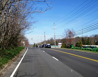
Bradevelt is an unincorporated community located within the Morganville section of Marlboro Township, in Monmouth County, New Jersey, United States. County Route 520 travels through Bradevelt, while Route 79 is located west of the community. The area consists of a mix of businesses along the two main roads, farmland, and the remains of the Marlboro Psychiatric Hospital which is being converted to Big Brook Park. The former Monmouth County Agricultural Railroad runs north and south through Bradevelt. Early to mid 1800s the area was called Hulsetown.
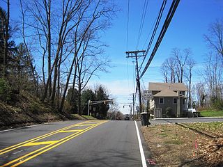
Beacon Hill is an unincorporated community located within Marlboro Township in Monmouth County, New Jersey, United States. The community is named for a nearby hill, in-turn named because it was a lookout point towards the Raritan Bay and beacons on the hill were used to warn residents of impending British troops in the American Revolutionary War. Located on the north face of the hill are housing developments and Marlboro Memorial Middle School. East of the summit, New Jersey Route 34 runs through the area through a commercial zone.

Jerseyville is an unincorporated community located within Howell Township in Monmouth County, New Jersey, United States. It is primarily a rural area within the northern part of the township, near Colts Neck and Freehold. Route 33 Business travels through Jerseyville, with some development, including a gas station, a convenience store, a church, and several residences.

Herberts Corner is an unincorporated community located within Marlboro Township in Monmouth County, New Jersey, United States. The center of the community is located at the intersection of Wyncrest Road and Newman Springs Road.
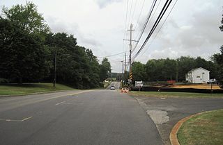
Hillsdale is an unincorporated community located within Colts Neck and Marlboro townships in Monmouth County, New Jersey, United States. The community is located at the intersection of County Route 520 which runs east and west, Conover Road which heads north, and Boundary Road which heads south. The southeastern quadrant of this intersection is a part of Colts Neck while the other three are in Marlboro. The community is located atop a small hill and is largely rural. The Colts Neck quadrant is made up of a housing development while the Marlboro side is mostly forests, parkland, and the remains of the Marlboro Psychiatric Hospital.

Monmouth Heights at Marlboro is an unincorporated community located within Marlboro Township in Monmouth County, New Jersey, United States. The housing development was created in the 1960s by Levitt & Sons though some protests occurred by long-time residents of Marlboro Township at the time of its creation. The community is located along New Jersey Route 79 across the highway from Marlboro High School.

Mount Pleasant is an unincorporated community located within Marlboro Township in Monmouth County, New Jersey, United States. It is named for a hill of the same name, one of the highest points in Marlboro Township. The settlement is located at the intersection of Reids Hill Road and Beacon Hill Road.
Marlboro Township, New Jersey has a number of historic sites. The Monmouth County Historic Site Inventory (HSI) was started in 1980 by the directors of both the Monmouth County Historical Association and the Monmouth County Park System. This inventory project provided an inventory number to all historic properties in Monmouth County, New Jersey. In addition to property details, this listing provides reference numbers for easy identification. In addition to the park system inventory, the Marlboro Township Historic Commission provides a listing of Historic Commission Landmarks (HCL). These are physical signs placed in historically significant locations. There was also a list presented by the NJ Department of Environmental Protection - Historic Preservation Office (HPO).